2022 Map of Kelly
USGS Topo · Published 2022About this map
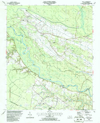
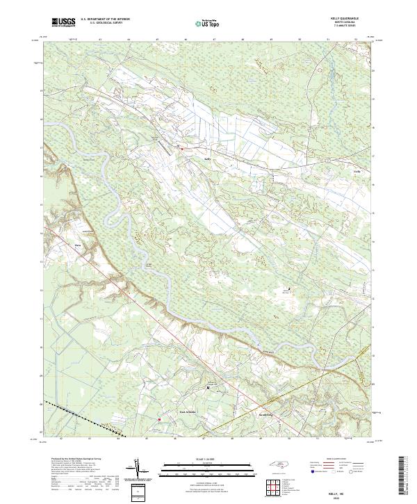
The Cape Fear River carves a winding path through this corner of Bladen County, where the low-lying Carolina bay topography and riverine wetlands define the settlement patterns. Small communities like Kelly, East Arcadia, and Sandyfield occupy the higher ground between expansive swamp systems. The landscape is a complex network of natural and engineered drainage, featuring the Lyon Swamp Canal, White Oak Canal, and Salt Marsh Ditch, reflecting generations of effort to manage the water for timber or agriculture.
Find a feature on this map
76 named features on this map. Tap any name to fly to it.
Don’t see what you’re looking for? This feature index may not catch every label — zoom into the map to look around manually.
Map Details
Editions of this 2022 Kelly Map
This is the sole edition of this map. No revisions or reprints were ever made.