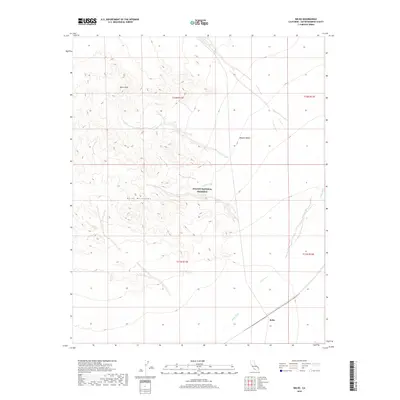
2018 Map of Kelso
USGS Topo · Published 2018About this map
The high desert landscape of the Mojave National Preserve is defined here by dramatic topographic shifts and the essential drainage systems of the arid San Bernardino County interior. At the center of the sheet, the Kelso Mountains rise toward Kelso Peak, while the surrounding terrain is etched by the meandering paths of Kelso Wash and Cedar Wash. These seasonal waterways are critical markers in the Mojave Desert, shaping the transportation and settlement patterns that converged at Kelso. The proximity of the rail line to the wash system highlights the historical reliance on these natural corridors for traversing the basin. Surveyed in the early 21st century, the map details the transition from high mountain peaks to the broad, sandy plains where the desert's infrastructure is most concentrated.
Find a feature on this map
11 named features on this map. Tap any name to fly to it.
Don’t see what you’re looking for? This feature index may not catch every label — zoom into the map to look around manually.
Map Details
Editions of this 2018 Kelso Map
This is the sole edition of this map. No revisions or reprints were ever made.
Other maps of this area

1910 · Ivanpah
USGS Topo · 1:250,000

1912 · Ivanpah
USGS Topo · 1:250,000

1942 · Ivanpah
USGS Topo · 1:250,000

1942 · Amboy
USGS Topo · 1:250,000

1943 · Amboy
USGS Topo · 1:250,000

1947 · Kingman
USGS Topo · 1:250,000

1948 · Kingman
USGS Topo · 1:250,000

1954 · Needles
USGS Topo · 1:250,000

1954 · Kingman
USGS Topo · 1:250,000

1955 · Kingman
USGS Topo · 1:250,000