2022 Map of Kenton
USGS Topo · Published 2022About this map
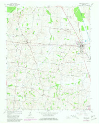
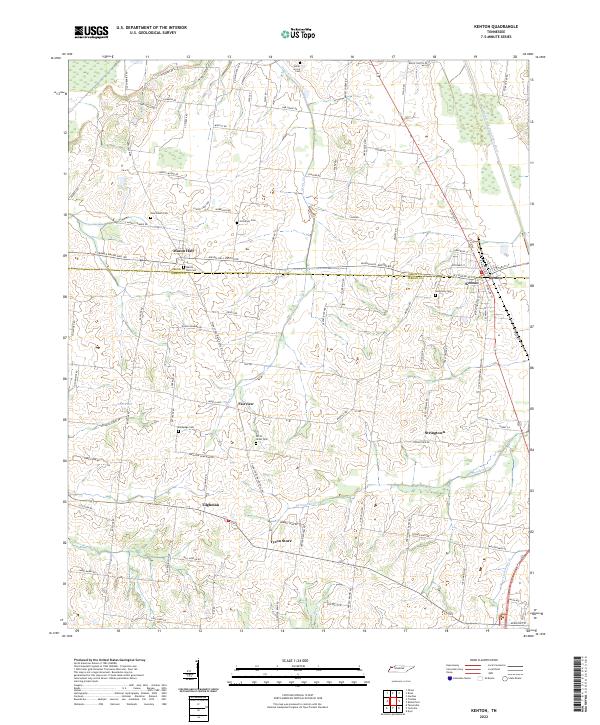
Mason Hall and Kenton anchor this rural West Tennessee landscape, where the county line between Obion and Gibson counties divides a patchwork of family farms and creek bottoms. The terrain is defined by the winding course of the Rutherford Fork Obion River in the northeast and a network of smaller drainages like Grass Cr and Edmundson Cr. Small historic hubs such as Stringtown, Fairview, and Tyson Store reflect the area's agricultural heritage and the importance of localized commerce before the modernization of travel.
Find a feature on this map
103 named features on this map. Tap any name to fly to it.
Don’t see what you’re looking for? This feature index may not catch every label — zoom into the map to look around manually.
Map Details
Editions of this 2022 Kenton Map
This is the sole edition of this map. No revisions or reprints were ever made.