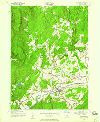
2023 Map of Kerhonkson
USGS Topo · Published 2023About this map
Rondout Creek and the Delaware Aqueduct define the southern valley of this Ulster County landscape, where the settlements of Kerhonkson and Accord serve as local hubs. The terrain rises sharply to the north and west towards Vernooey Falls and Braziel Heights, a transition marked by a network of smaller hamlets such as Cherrytown, Mombaccus, and Liebhardt. The map provides a detailed view of local infrastructure, from the Piolis Brookside Airport near Riggsville to the distribution of rural burial grounds like Rochester Center Cem and Pine Bush Cem.
Find a feature on this map
127 named features on this map. Tap any name to fly to it.
Don’t see what you’re looking for? This feature index may not catch every label — zoom into the map to look around manually.
Map Details
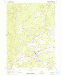
Editions of this 2023 Kerhonkson Map
This is the sole edition of this map. No revisions or reprints were ever made.
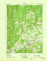
Historical Maps of Fantinekill Through Time
4 maps found