Loading...
Loading map...2022 Map of Kernersville
USGS Topo · Published 2022About this map
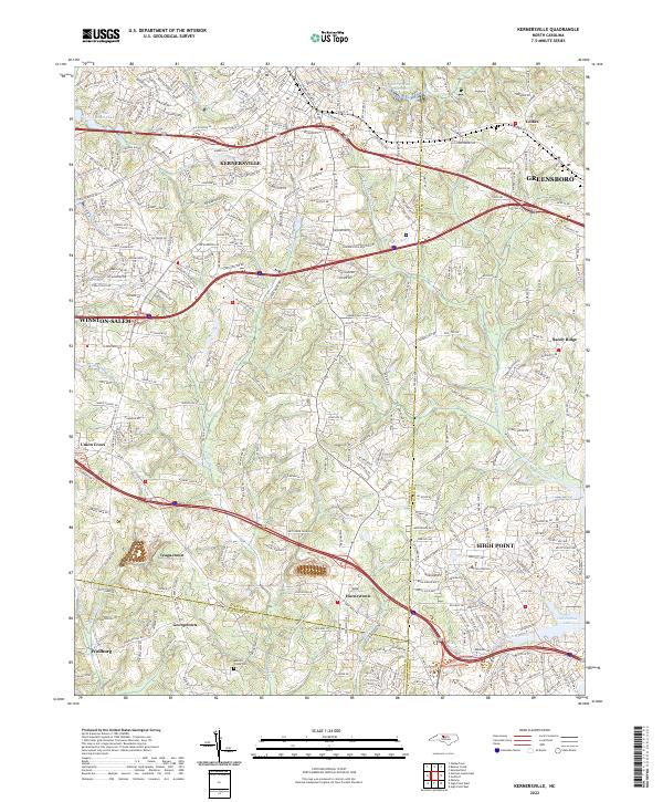
Kernersville serves as the central hub of this modern survey, positioned at the convergence of the Forsyth, Guilford, and Davidson county lines. The landscape is a network of suburban expansion and industrial corridors, defined by the heavy infrastructure of I-40, I-74, and US Hwy 421. Despite the rapid growth of the surrounding Triad cities, smaller named communities such as Teaguetown, Union Cross, and Horneytown maintain their distinct geographic identities on the map.
Find a feature on this map
40 named features on this map. Tap any name to fly to it.
Don’t see what you’re looking for? This feature index may not catch every label — zoom into the map to look around manually.
Map Details
Date Portrayed2022
Date Published2022
PublisherU.S. Geological Survey
Map TypeTopographic
Scale1:24000
Physical Dimensions24 x 29 inches
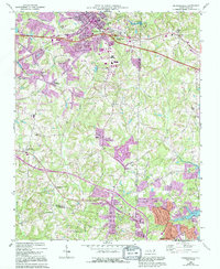
Editions of this 2022 Kernersville Map
This is the sole edition of this map. No revisions or reprints were ever made.
Historical Maps of Yorktown Through Time
3 maps found
Featured Locations
Source Details
SourceU.S. Geological Survey
CopyrightPublic Domain