2024 Map of Keysville
USGS Topo · Published 2024About this map
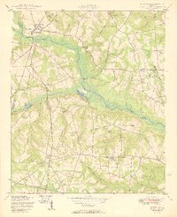
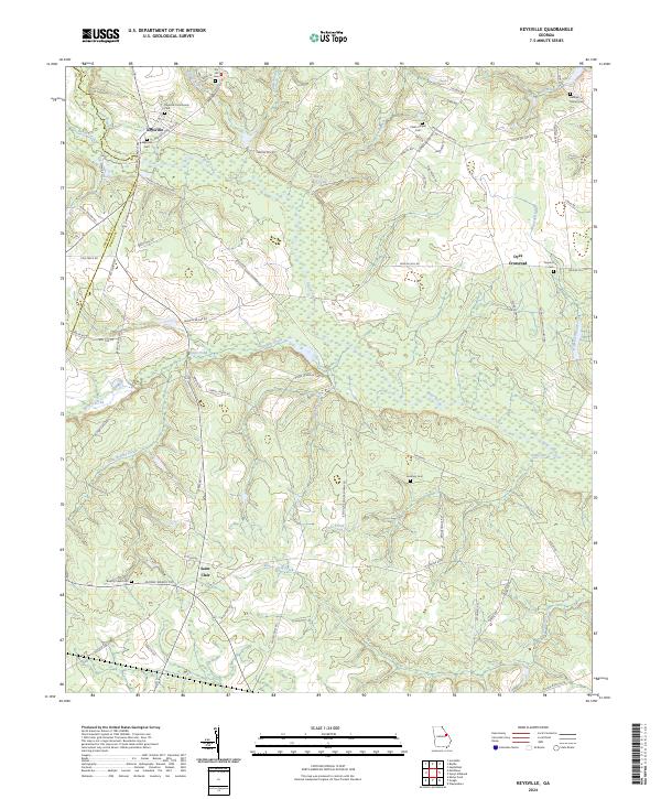
Keysville stands as the primary hub in this Georgia landscape, situated where the Jefferson Co Burke Co line meets a network of local routes like Martin Luther King Rd and Side Track Rd. The geography is defined by the winding course of Brier Creek and its many tributaries, including Little Brushy Creek and Beaver Dam Creek. This area of eastern Georgia maintains a traditional rural character, evidenced by the numerous small family and community burial grounds such as Keysville Community Cem, Clarks Chapel Cem, and the George Palmer Cem near Mill Creek.
Find a feature on this map
70 named features on this map. Tap any name to fly to it.
Don’t see what you’re looking for? This feature index may not catch every label — zoom into the map to look around manually.
Map Details
Editions of this 2024 Keysville Map
This is the sole edition of this map. No revisions or reprints were ever made.