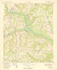
1950 Map of Keysville
USGS Topo · Published 1950About this map
Brier Creek serves as the central hydrologic axis for this portion of eastern Georgia, where the borders of Burke, Jefferson, and Richmond counties converge. The settlement of Keysville sits near the crossing of the Georgia and Florida railroad, surrounded by a landscape defined by small agricultural holdings and tributary branches like Travers Branch and Brushy Creek. This mid-century survey reveals a highly organized rural social structure, evidenced by the density of community-specific landmarks such as Boggs Academy and numerous denominational meeting houses including Clarks Chapel Church and James Grove Church.
Find a feature on this map
51 named features on this map. Tap any name to fly to it.
Don’t see what you’re looking for? This feature index may not catch every label — zoom into the map to look around manually.
Map Details
Editions of this 1950 Keysville Map
2 editions found
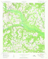
Other maps of this area

1919 · Gough
USGS Topo · 1:62,500

1920 · Stapleton
USGS Topo · 1:62,500

1922 · Harlem
USGS Topo · 1:62,500

1922 · Hephzibah
USGS Topo · 1:62,500

1948 · Hephzibah
USGS Topo · 1:62,500

1948 · Harlem
USGS Topo · 1:62,500

1948 · Stapleton
USGS Topo · 1:62,500

1948 · Gough
USGS Topo · 1:62,500

1948 · Blythe
USGS Topo · 1:24,000
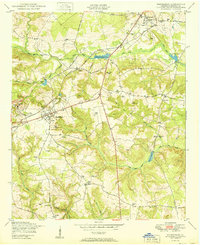
1950 · Hephzibah
USGS Topo · 1:24,000