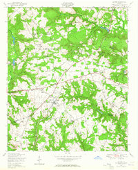
1948 Map of Blythe
USGS Topo · Published 1964About this map
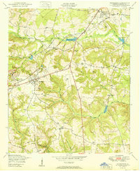
The Camp Gordon Military Reservation dominates the northern reaches of this landscape along the border of Richmond and Burke counties. This post-war era survey shows a countryside defined by small rural hubs and institutional anchors, centered on the town of Blythe. Educational and spiritual life is well-documented through numerous combined sites like the Doyle Grove Church and School and the Hoods Chapel School.
Find a feature on this map
48 named features on this map. Tap any name to fly to it.
Don’t see what you’re looking for? This feature index may not catch every label — zoom into the map to look around manually.
Map Details
Editions of this 1948 Blythe Map
4 editions found
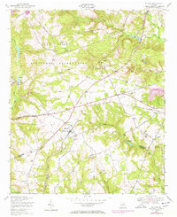
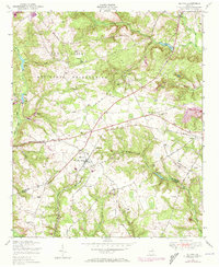
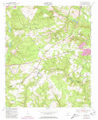
Other maps of this area

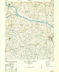
1919 · Gough
USGS Topo · 1:62,500

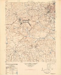
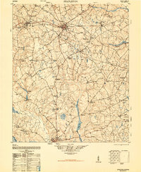
1920 · Stapleton
USGS Topo · 1:62,500

1922 · Harlem
USGS Topo · 1:62,500

1922 · Hephzibah
USGS Topo · 1:62,500
1948 · Hephzibah
USGS Topo · 1:62,500

1948 · Harlem
USGS Topo · 1:62,500
1948 · Stapleton
USGS Topo · 1:62,500
1948 · Gough
USGS Topo · 1:62,500
1948 · Harlem
USGS Topo · 1:24,000
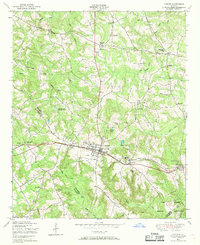
1950 · Hephzibah
USGS Topo · 1:24,000