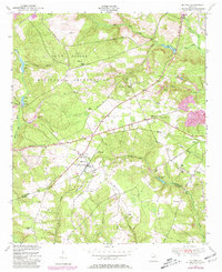
1948 Map of Blythe
USGS Topo · Published 1981About this map
Blythe anchors the crossroads of Louisville Road and Keysville Road in this mid-century survey, which reveals the transition between military lands and rural communities. The northern half of the map is dominated by the Fort Gordon Military Reservation, showing a landscape cleared for training yet still marked by family sites like Rachels Cemetery and Tarver Cemetery. Outside the reservation boundary, the town of Blythe shows its civic heart through the Blythe High School and several nearby churches including Doyle Grove Church and Brown Grove Church. The drainage of Mc Bean Creek and its many branches like Palmer Branch define the topography as the land drops toward the county line, featuring scattered schools like Branton School and small industrial sites such as a Quarry.
Find a feature on this map
46 named features on this map. Tap any name to fly to it.
Don’t see what you’re looking for? This feature index may not catch every label — zoom into the map to look around manually.
Map Details
Editions of this 1948 Blythe Map
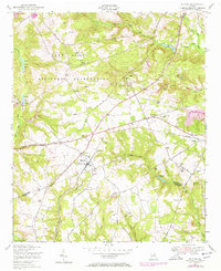
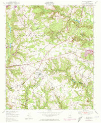
4 editions found
Other maps of this area

1919 · Gough
USGS Topo · 1:62,500

1920 · Stapleton
USGS Topo · 1:62,500

1922 · Harlem
USGS Topo · 1:62,500

1922 · Hephzibah
USGS Topo · 1:62,500

1948 · Hephzibah
USGS Topo · 1:62,500

1948 · Harlem
USGS Topo · 1:62,500

1948 · Stapleton
USGS Topo · 1:62,500

1948 · Gough
USGS Topo · 1:62,500

1948 · Blythe
USGS Topo · 1:24,000

1948 · Harlem
USGS Topo · 1:24,000