Loading...
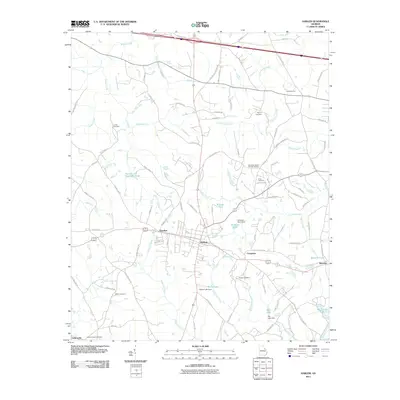
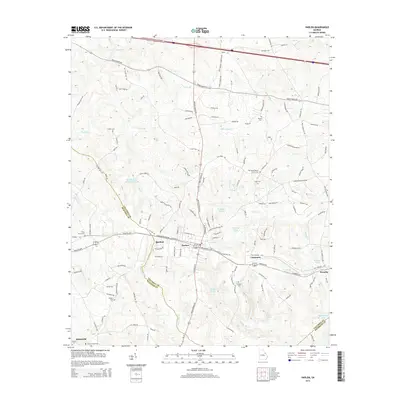
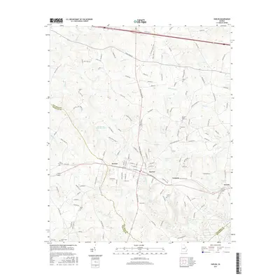
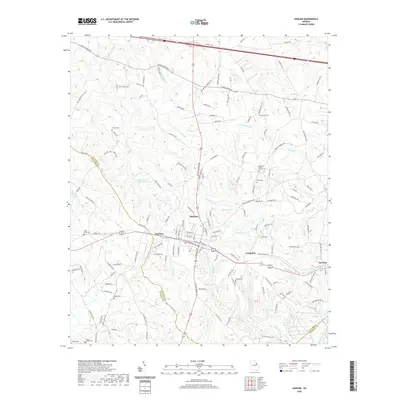
Loading map...1948 Map of Harlem
USGS Topo · Published 1969About this map
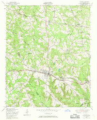
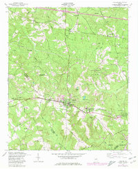
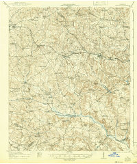
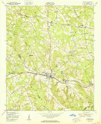
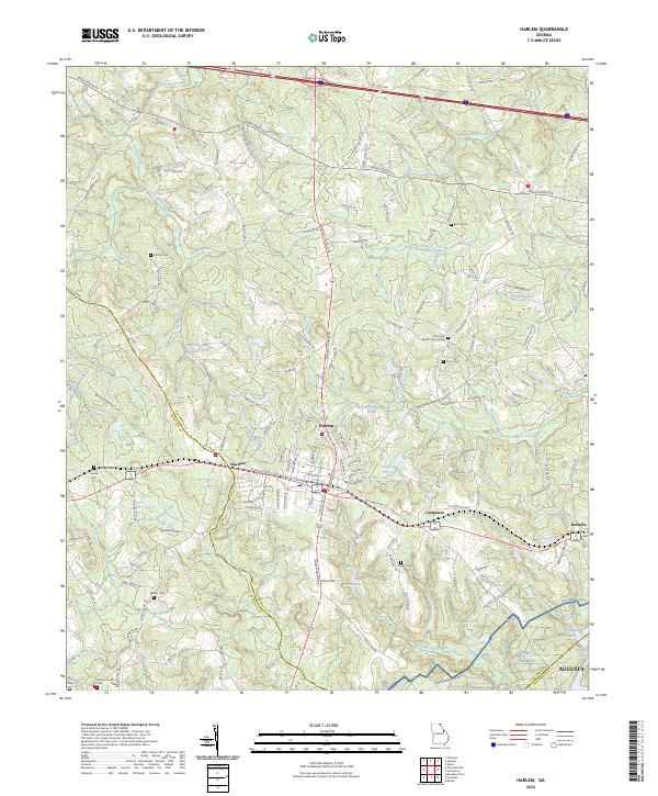
Harlem serves as the central hub of this post-war landscape, situated at the junction of the Georgia railroad and several primary roads. The town's local significance is underscored by the presence of the Harlem Elementary and Junior High School and nearby settlements like Sawdust and Campania. To the southeast, the Camp Gordon Military Reservation occupies a significant portion of the terrain, while the rural outskirts are dotted with established local institutions such as Woodlawn Church and Powells Church.
Find a feature on this map
47 named features on this map. Tap any name to fly to it.
Don’t see what you’re looking for? This feature index may not catch every label — zoom into the map to look around manually.
Map Details
Date Portrayed1948
Date Published1969
PublisherU.S. Geological Survey
Map TypeTopographic
Scale1:24,000
Physical Dimensions22 x 27 inches
Editions of this 1948 Harlem Map
2 editions found
Historical Maps of Augusta Through Time
9 maps found

Featured Locations
Source Details
SourceU.S. Geological Survey
CopyrightPublic Domain