
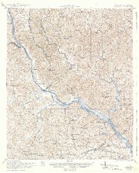
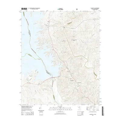
1942 Map of Clarks Hill
USGS Topo · Published 1942About this map
The Savannah River carves the boundary between South Carolina and Georgia in this 1940s reprint of 1918-1919 field surveys. This landscape is defined by the river-and-rail economy of the early 20th century, where crossings like Gilchrist Ferry, Dents Ferry, and Middleton Ferry still served as vital connectors before later bridge developments. The Charleston and Western Carolina railroad runs roughly parallel to the river on the Georgia side, supporting small stations and spurs such as Johnsons Spur and Griffith Siding.
Find a feature on this map
78 named features on this map. Tap any name to fly to it.
Don’t see what you’re looking for? This feature index may not catch every label — zoom into the map to look around manually.
Map Details
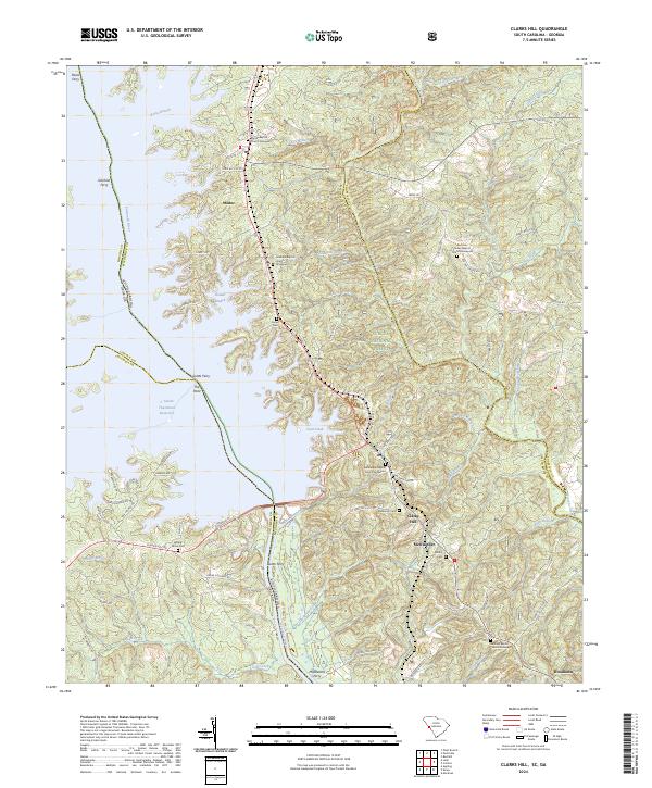
Editions of this 1942 Clarks Hill Map
This is the sole edition of this map. No revisions or reprints were ever made.
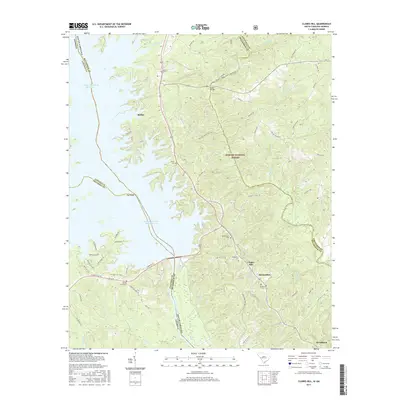
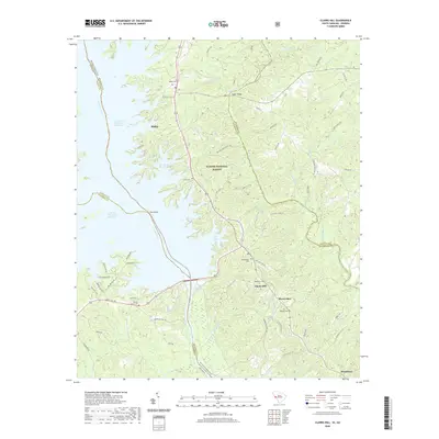
Historical Maps of Augusta Through Time
10 maps found

1920 Clarks Hill
McCormick County, SC
1921 Clarks Hill
McCormick County, SC
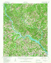
1941 Clarks Hill
McCormick County, SC
1942 Clarks Hill
McCormick County, SC
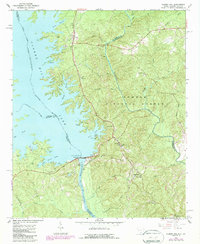
1964 Clarks Hill
McCormick County, SC
2012 Clarks Hill
McCormick County, SC
2014 Clarks Hill
McCormick County, SC
2017 Clarks Hill
McCormick County, SC
2020 Clarks Hill
McCormick County, SC
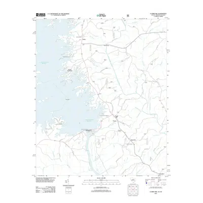
2024 Clarks Hill
McCormick County, SC