
1928 Map of Warrenville
USGS Topo · Published 1928About this map
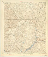
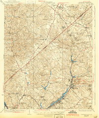
Horse Creek and its tributaries form the industrial and social backbone of this South Carolina landscape during the 1920s. The concentration of textile-related settlements like Graniteville, Vaucluse, and Warrenville follow the watercourse, where mill culture and residential growth were firmly established. This survey provides an exceptional view of the early 20th-century educational and religious network, capturing locations for Bettis Academy, North Augusta Academy, and rural institutions such as Gardnersville Sch and Science Hill Ch. Further south, the map illustrates the development of North Augusta and Belvedere near the Savannah River, while long-established routes like Plank Road and Edgefield Road connect the inland farms and orchards. The presence of the Southern Railway through Langley and Bath highlights the region's reliance on rail transport for both passengers and the moving of textile goods during this era.
Find a feature on this map
73 named features on this map. Tap any name to fly to it.
Don’t see what you’re looking for? This feature index may not catch every label — zoom into the map to look around manually.
Map Details
Editions of this 1928 Warrenville Map
3 editions found
Other maps of this area

1892 · Mc Cormick
USGS Topo · 1:125,000

1912 · Mc Cormick
USGS Topo · 1:125,000

1920 · Aiken
USGS Topo · 1:48,000

1920 · Talatha
USGS Topo · 1:48,000

1920 · Clarks Hill
USGS Topo · 1:48,000

1921 · Augusta
USGS Topo · 1:62,500

1921 · Aiken
USGS Topo · 1:62,500

1921 · Talatha
USGS Topo · 1:62,500

1921 · Clarks Hill
USGS Topo · 1:62,500

1922 · Hephzibah
USGS Topo · 1:62,500