Loading...
Loading map...2024 Map of Kila
USGS Topo · Published 2024About this map
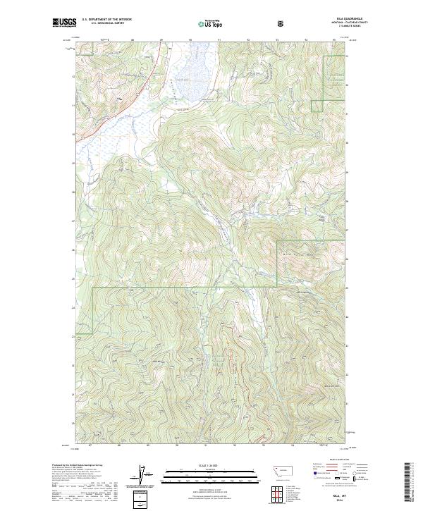
Kila serves as the primary settlement in this mountainous reach of Flathead County, where the valley floor transitions into the high ridges of the Flathead National Forest. The landscape is defined by the significant wetland habitat of the Flathead County Waterfowl Production Area surrounding Smith Lake, a vital geographic marker for the area's natural conservation efforts.
Find a feature on this map
53 named features on this map. Tap any name to fly to it.
Don’t see what you’re looking for? This feature index may not catch every label — zoom into the map to look around manually.
Map Details
Date Portrayed2024
Date Published2024
PublisherU.S. Geological Survey
Map TypeTopographic
Scale1:24000
Physical Dimensions24 x 29 inches
Editions of this 2024 Kila Map
This is the sole edition of this map. No revisions or reprints were ever made.
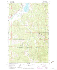
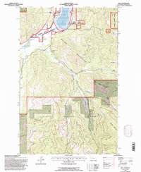
Historical Maps of Kila Through Time
Featured Locations
Source Details
SourceU.S. Geological Survey
CopyrightPublic Domain