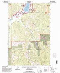
1994 Map of Kila
USGS Topo · Published 1996About this map
The Smith Lake Waterfowl Production Area dominates the northern landscape of this region, where the marshy waters of Smith Lake meet the winding course of Ashley Creek. This mid-1990s survey by the U.S. Forest Service captures a transitional terrain where the Salish Mountains and Flathead Mountains converge. The settlement at Kila serves as the local hub, while the surrounding backcountry is dotted with signs of historical land use, including the C M Quarter Circle Ranch and high-elevation shelters like Truman Cabin and Norden Cabin. The map reveals a network of mountain drainage systems, such as Truman Creek and Emmons Creek, which carve through the timbered slopes of Wild Horse Mountain and Eagle Mountain. This record is particularly useful for identifying the specific intersections of Forest Service lands and private ranch holdings during the late 20th century.
Find a feature on this map
27 named features on this map. Tap any name to fly to it.
Don’t see what you’re looking for? This feature index may not catch every label — zoom into the map to look around manually.
Map Details
Editions of this 1994 Kila Map
This is the sole edition of this map. No revisions or reprints were ever made.
Other maps of this area

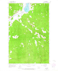
1920 · Flathead Lake
USGS Topo · 1:125,000

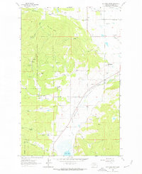
1943 · Kalispell
USGS Topo · 1:125,000

1956 · Wallace
USGS Topo · 1:250,000

1957 · Kalispell
USGS Topo · 1:250,000

1960 · Kalispell
USGS Topo · 1:250,000

1960 · Wallace
USGS Topo · 1:250,000

1961 · Kalispell
USGS Topo · 1:250,000
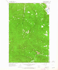
1962 · Kila
USGS Topo · 1:24,000
1962 · Blue Grass Ridge
USGS Topo · 1:24,000
1962 · Lion Mountain
USGS Topo · 1:24,000