Loading...
Loading map...2021 Map of King City
USGS Topo · Published 2021About this map
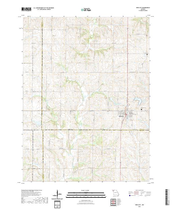
King City occupies the east-central portion of this landscape, positioned atop the rolling divide where Gentry, Andrew, and DeKalb counties meet. The town serves as a local hub for the surrounding agricultural community, with a grid of streets including W Empire Ave, W Putnam St, and E Queen St. Water management is central to the area's geography, evidenced by the King City Reservoir and Limpp Community State Lake located just north and west of the town center.
Find a feature on this map
43 named features on this map. Tap any name to fly to it.
Don’t see what you’re looking for? This feature index may not catch every label — zoom into the map to look around manually.
Map Details
Date Portrayed2021
Date Published2021
PublisherU.S. Geological Survey
Map TypeTopographic
Scale1:24000
Physical Dimensions24 x 29 inches
Editions of this 2021 King City Map
This is the sole edition of this map. No revisions or reprints were ever made.
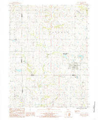
Historical Maps of Polk Township Through Time
Featured Locations
- Andrew County, MO
- Polk Township, MO
- Jackson Township, MO
- Douglas, Jackson Township
- King City, Jackson Township
Source Details
SourceU.S. Geological Survey
CopyrightPublic Domain