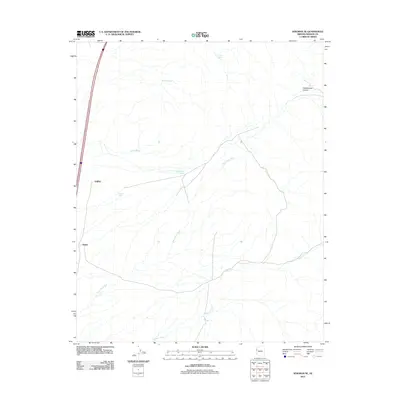
2011 Map of Kingman SE
USGS Topo · Published 2011About this map
Griffith and Drake anchor the western edge of this Mohave County landscape, situated along a primary transportation corridor that cuts through the high desert. The map captures a complex network of ephemeral drainages and vital water points that define life in this arid environment. Significant natural features like Black Rock Wash and Griffith Wash carve paths through the terrain, eventually converging toward Walnut Creek in the south. To the north and east, the topography becomes more pronounced with Cottonwood Canyon and isolated water sources such as Lookout Spring and Boulder Spring. Man-made water features, including Griffith Tank and the uniquely named Number Five Trough, reveal the infrastructure necessary for ranching or transit in this part of Arizona during the early 21st century.
Find a feature on this map
10 named features on this map. Tap any name to fly to it.
Don’t see what you’re looking for? This feature index may not catch every label — zoom into the map to look around manually.
Map Details
Editions of this 2011 Kingman SE Map
This is the sole edition of this map. No revisions or reprints were ever made.
Other maps of this area

1886 · Diamond Creek
USGS Topo · 1:250,000

1886 · Camp Mohave
USGS Topo · 1:250,000

1892 · Diamond Creek
USGS Topo · 1:250,000

1892 · Camp Mohave
USGS Topo · 1:250,000

1923 · Signal
USGS Topo · 1:250,000

1927 · Yucca
USGS Topo · 1:62,500

1929 · Yucca
USGS Topo · 1:62,500

1942 · Camp Mohave
USGS Topo · 1:250,000

1942 · Signal
USGS Topo · 1:250,000

1947 · Kingman
USGS Topo · 1:250,000