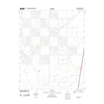
2011 Map of Kingman SW
USGS Topo · Published 2011About this map
Sacramento Wash and its numerous ephemeral tributaries dominate the desert floor in this Mohave County landscape. The mapping of the early twenty-first century reveals an extensive network of planned residential corridors, characterized by an grid of streets with evocative names such as Volcanic Dr, Anza Dr, and Tuzigoot Trl. These road alignments demonstrate a significant transition in land use, showing how desert acreage was subdivided for modern development southwest of the regional hub.
Find a feature on this map
110 named features on this map. Tap any name to fly to it.
Don’t see what you’re looking for? This feature index may not catch every label — zoom into the map to look around manually.
Map Details
Editions of this 2011 Kingman SW Map
This is the sole edition of this map. No revisions or reprints were ever made.
Other maps of this area

1886 · Camp Mohave
USGS Topo · 1:250,000

1892 · Camp Mohave
USGS Topo · 1:250,000

1903 · Needles
USGS Topo · 1:125,000

1904 · Needles Special
USGS Topo · 1:125,000

1927 · Yucca
USGS Topo · 1:62,500

1929 · Yucca
USGS Topo · 1:62,500

1942 · Camp Mohave
USGS Topo · 1:250,000

1947 · Kingman
USGS Topo · 1:250,000

1948 · Kingman
USGS Topo · 1:250,000

1954 · Needles
USGS Topo · 1:250,000