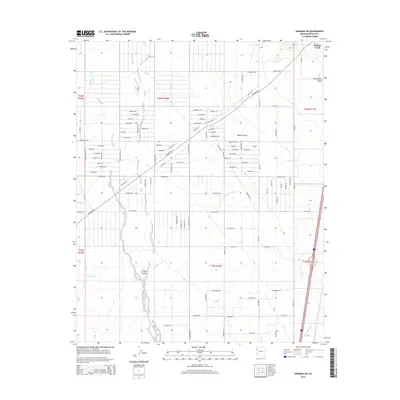
2014 Map of Kingman SW
USGS Topo · Published 2014About this map
Sacramento Valley and the eastern edge of the Mojave Desert dominate this 2014 survey of Mohave County. The landscape is defined by an intricate network of ephemeral watercourses including Threemile Wash, Secret Pass Wash, and the prominent Sacramento Wash, which drain the arid basin towards the south. This era shows an interesting grid of planned but largely undeveloped residential roads, such as Imperial Dr, Zora Dr, and Ronda Rd, many of which remain unpaved tracks through the scrub. The historic Oatman Hwy cuts diagonally across the terrain, serving as a primary artery through this sparsely settled desert region. In the southern portion of the sheet, the topography becomes more varied near Shingle Canyon and along Black Rock Wash, where the desert floor meets rising ground.
Find a feature on this map
85 named features on this map. Tap any name to fly to it.
Don’t see what you’re looking for? This feature index may not catch every label — zoom into the map to look around manually.
Map Details
Editions of this 2014 Kingman SW Map
This is the sole edition of this map. No revisions or reprints were ever made.
Other maps of this area

1886 · Camp Mohave
USGS Topo · 1:250,000

1892 · Camp Mohave
USGS Topo · 1:250,000

1903 · Needles
USGS Topo · 1:125,000

1904 · Needles Special
USGS Topo · 1:125,000

1927 · Yucca
USGS Topo · 1:62,500

1929 · Yucca
USGS Topo · 1:62,500

1942 · Camp Mohave
USGS Topo · 1:250,000

1947 · Kingman
USGS Topo · 1:250,000

1948 · Kingman
USGS Topo · 1:250,000

1954 · Needles
USGS Topo · 1:250,000