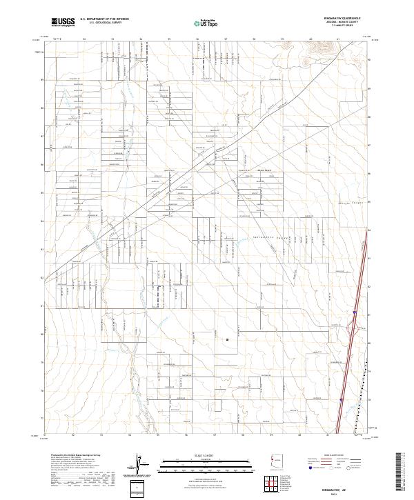
2021 Map of Kingman SW
USGS Topo · Published 2021About this map
Sacramento Valley and the Mojave Desert converge in this western Arizona landscape, characterized by a complex network of ephemeral drainage systems. The terrain is defined by the passage of Thirteenmile Wash, Secret Pass Wash, and Griffith Wash, which channel seasonal runoff through the arid basin. To the northeast, the elevation rises toward Shingle Canyon, while the southern reaches are marked by Meadow Cr and Black Rock Wash.
Find a feature on this map
66 named features on this map. Tap any name to fly to it.
Don’t see what you’re looking for? This feature index may not catch every label — zoom into the map to look around manually.
Map Details
Editions of this 2021 Kingman SW Map
This is the sole edition of this map. No revisions or reprints were ever made.
Other maps of this area

1886 · Camp Mohave
USGS Topo · 1:250,000

1892 · Camp Mohave
USGS Topo · 1:250,000

1903 · Needles
USGS Topo · 1:125,000

1904 · Needles Special
USGS Topo · 1:125,000

1927 · Yucca
USGS Topo · 1:62,500

1929 · Yucca
USGS Topo · 1:62,500

1942 · Camp Mohave
USGS Topo · 1:250,000

1947 · Kingman
USGS Topo · 1:250,000

1948 · Kingman
USGS Topo · 1:250,000

1954 · Needles
USGS Topo · 1:250,000