Loading...
Loading map...2022 Map of Kingsley
USGS Topo · Published 2022About this map
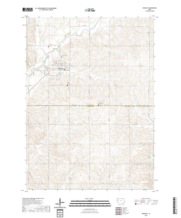
Kingsley anchors this 2022 survey as a hub of settlement along the border of Plymouth and Woodbury counties. The town is situated near the West Fork Little Sioux River, where a network of grid-patterned country roads like Quartz Ave and 300th St connect the surrounding farmland. Modern community development is visible in the Community Biking/Walking Trl, providing a clear look at local recreation infrastructure alongside established residential streets like W 3rd St and S Main St.
Find a feature on this map
49 named features on this map. Tap any name to fly to it.
Don’t see what you’re looking for? This feature index may not catch every label — zoom into the map to look around manually.
Map Details
Date Portrayed2022
Date Published2022
PublisherU.S. Geological Survey
Map TypeTopographic
Scale1:24000
Physical Dimensions24 x 29 inches
Editions of this 2022 Kingsley Map
This is the sole edition of this map. No revisions or reprints were ever made.
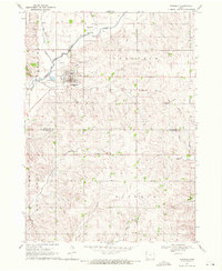
Historical Maps of Kingsley Through Time
Featured Locations
Source Details
SourceU.S. Geological Survey
CopyrightPublic Domain