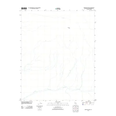
2012 Map of Kingston Peak
USGS Topo · Published 2012About this map
Kingston Peak dominates the high desert landscape of San Bernardino County in this 2012 topographic record. The map reveals an arid environment defined by dramatic elevation changes and a network of seasonal watercourses. Kingston Wash flows through the southern portion of the quadrangle, serving as the primary drainage for the area's complex desert floor. This modern survey, compiled from National Hydrography and Elevation datasets, also identifies Porcupine Tank in the northern reaches, a vital water point in this dry interior. The topography here suggests a place largely untouched by major development, where the natural landforms of the Mojave Desert dictate the movement of both water and any prospective travelers.
Find a feature on this map
3 named features on this map. Tap any name to fly to it.
Don’t see what you’re looking for? This feature index may not catch every label — zoom into the map to look around manually.
Map Details
Editions of this 2012 Kingston Peak Map
This is the sole edition of this map. No revisions or reprints were ever made.
Other maps of this area

1910 · Ivanpah
USGS Topo · 1:250,000

1912 · Ivanpah
USGS Topo · 1:250,000

1933 · Avawatz Mountains
USGS Topo · 1:250,000

1942 · Ivanpah
USGS Topo · 1:250,000

1947 · Trona
USGS Topo · 1:250,000

1947 · Kingman
USGS Topo · 1:250,000

1948 · Kingman
USGS Topo · 1:250,000

1948 · Trona
USGS Topo · 1:250,000

1950 · Tecopa
USGS Topo · 1:62,500

1951 · Tecopa
USGS Topo · 1:62,500