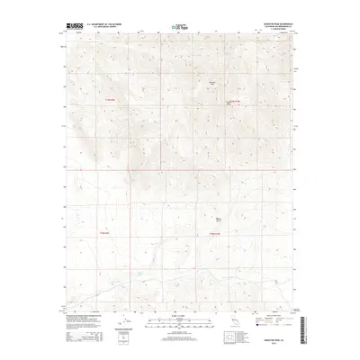
2015 Map of Kingston Peak
USGS Topo · Published 2015About this map
Kingston Peak dominates the northern skyline of this 2015 survey, serving as a prominent landmark within the Kingston Range. This corner of the Mojave Desert is defined by a landscape of extreme relief and drainage networks that gather into the Kingston Wash in the south. The distribution of water sources like Porcupine Tank and Coyote Holes highlights the critical, sparse hydrology of this arid environment, where such features historically dictated travel routes and survival. Surveyed in the early 21st century, the map documents the unchanged character of these high-altitude desert peaks and the vast alluvial fans that spill toward the valley floors, providing a high-resolution view of a region where the geology and elevation remain the primary features of interest.
Find a feature on this map
10 named features on this map. Tap any name to fly to it.
Don’t see what you’re looking for? This feature index may not catch every label — zoom into the map to look around manually.
Map Details
Editions of this 2015 Kingston Peak Map
This is the sole edition of this map. No revisions or reprints were ever made.
Other maps of this area

1910 · Ivanpah
USGS Topo · 1:250,000

1912 · Ivanpah
USGS Topo · 1:250,000

1933 · Avawatz Mountains
USGS Topo · 1:250,000

1942 · Ivanpah
USGS Topo · 1:250,000

1947 · Trona
USGS Topo · 1:250,000

1947 · Kingman
USGS Topo · 1:250,000

1948 · Kingman
USGS Topo · 1:250,000

1948 · Trona
USGS Topo · 1:250,000

1950 · Tecopa
USGS Topo · 1:62,500

1951 · Tecopa
USGS Topo · 1:62,500