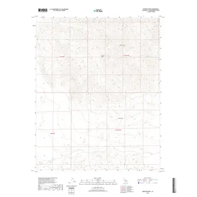
2018 Map of Kingston Peak
USGS Topo · Published 2018About this map
Kingston Peak dominates this corner of the Mojave Desert, serving as a primary high point within the Kingston Range. This topographic survey from 2018 reveals the intricate relief of the high desert, where steep elevation changes are marked by dense contour lines surrounding the peak. The landscape is defined by its drainage patterns, most notably the winding path of Kingston Wash as it cuts through the desert floor. The area is largely characterized by its natural features rather than human development, providing a clear look at the public land survey system divisions including t19n r9e and t18n r10e. The map serves as a vital record of the geological formations and water courses that dictate the environment of this part of San Bernardino County.
Find a feature on this map
8 named features on this map. Tap any name to fly to it.
Don’t see what you’re looking for? This feature index may not catch every label — zoom into the map to look around manually.
Map Details
Editions of this 2018 Kingston Peak Map
This is the sole edition of this map. No revisions or reprints were ever made.
Other maps of this area

1910 · Ivanpah
USGS Topo · 1:250,000

1912 · Ivanpah
USGS Topo · 1:250,000

1933 · Avawatz Mountains
USGS Topo · 1:250,000

1942 · Ivanpah
USGS Topo · 1:250,000

1947 · Trona
USGS Topo · 1:250,000

1947 · Kingman
USGS Topo · 1:250,000

1948 · Kingman
USGS Topo · 1:250,000

1948 · Trona
USGS Topo · 1:250,000

1950 · Tecopa
USGS Topo · 1:62,500

1951 · Tecopa
USGS Topo · 1:62,500