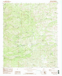
1985 Map of Kingston
USGS Topo · Published 1985About this map
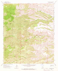
Kingston sits at the heart of this Sierra County landscape, where the rugged terrain of the Gila National Forest meets the protected reaches of the Aldo Leopold Wilderness. The map reveals an intricate network of waterways draining the eastern slopes of the Black Range, including Middle Percha Creek, Southwest Percha Creek, and Sawpit Canyon. This area's history is deeply tied to the extraction of minerals, evidenced by several sites marked simply as Mine and the presence of the USLM No 3 survey monument.
Find a feature on this map
33 named features on this map. Tap any name to fly to it.
Don’t see what you’re looking for? This feature index may not catch every label — zoom into the map to look around manually.
Map Details
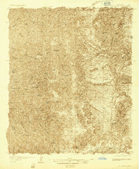
Editions of this 1985 Kingston Map
This is the sole edition of this map. No revisions or reprints were ever made.
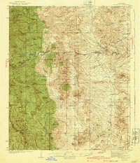
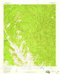
Other maps of this area
1935 · Hillsboro
USGS Topo · 1:48,000
1940 · Hillsboro
USGS Topo · 1:62,500

1954 · Tularosa
USGS Topo · 1:250,000

1955 · Las Cruces
USGS Topo · 1:250,000
1956 · San Lorenzo
USGS Topo · 1:62,500

1958 · Las Cruces
USGS Topo · 1:250,000

1958 · Tularosa
USGS Topo · 1:250,000

1963 · Bell Mountain
USGS Topo · 1:24,000

1963 · Victoria Park
USGS Topo · 1:24,000
1963 · Apache Peak
USGS Topo · 1:24,000