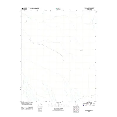
2012 Map of Kingston Spring
USGS Topo · Published 2012About this map
Kingston Spring provides a rare point of named water in this arid landscape within the northern reaches of San Bernardino County. The terrain is defined by the Shadow Mountains, where the elevation changes are marked by a complex network of dry washes and desert drainage systems. Human infrastructure is limited to the winding path of Co Hwy 20555, which traverses the high desert floor. This 2012 USGS survey reflects a largely undeveloped segment of the California desert near the Nevada border, where the primary features are the natural contours and the essential water source that gives the quadrangle its name.
Find a feature on this map
3 named features on this map. Tap any name to fly to it.
Don’t see what you’re looking for? This feature index may not catch every label — zoom into the map to look around manually.
Map Details
Editions of this 2012 Kingston Spring Map
This is the sole edition of this map. No revisions or reprints were ever made.
Other maps of this area

1910 · Ivanpah
USGS Topo · 1:250,000

1912 · Ivanpah
USGS Topo · 1:250,000

1933 · Avawatz Mountains
USGS Topo · 1:250,000

1942 · Ivanpah
USGS Topo · 1:250,000

1947 · Trona
USGS Topo · 1:250,000

1947 · Kingman
USGS Topo · 1:250,000

1948 · Kingman
USGS Topo · 1:250,000

1948 · Trona
USGS Topo · 1:250,000

1953 · Trona
USGS Topo · 1:250,000

1954 · Kingman
USGS Topo · 1:250,000