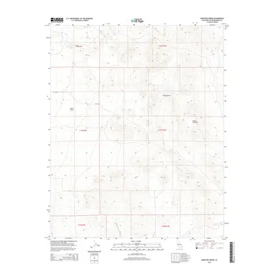
2015 Map of Kingston Spring
USGS Topo · Published 2015About this map
Kingston Spring provides a vital water source in this arid corner of San Bernardino County, situated near the transition between the Valjean Valley and the expansive Mojave Desert. The landscape is dominated by the dramatic topography of the Shadow Mountains, which rise sharply in the eastern portion of the survey. This 2015 edition captures the remote character of the high desert, where public land survey boundaries like t17n r10e and t18n r9e delineate vast stretches of undeveloped terrain. The sparse road network, consisting largely of primitive routes and tracks, reflects the isolation of the region, making the few named natural landmarks and water sources essential points of reference for navigation and historical land use research.
Find a feature on this map
10 named features on this map. Tap any name to fly to it.
Don’t see what you’re looking for? This feature index may not catch every label — zoom into the map to look around manually.
Map Details
Editions of this 2015 Kingston Spring Map
This is the sole edition of this map. No revisions or reprints were ever made.
Other maps of this area

1910 · Ivanpah
USGS Topo · 1:250,000

1912 · Ivanpah
USGS Topo · 1:250,000

1933 · Avawatz Mountains
USGS Topo · 1:250,000

1942 · Ivanpah
USGS Topo · 1:250,000

1947 · Trona
USGS Topo · 1:250,000

1947 · Kingman
USGS Topo · 1:250,000

1948 · Kingman
USGS Topo · 1:250,000

1948 · Trona
USGS Topo · 1:250,000

1953 · Trona
USGS Topo · 1:250,000

1954 · Kingman
USGS Topo · 1:250,000