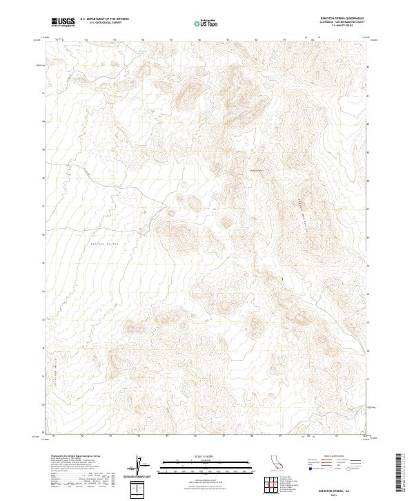
2021 Map of Kingston Spring
USGS Topo · Published 2021About this map
Kingston Spring provides a critical water source in this arid corner of the Mojave Desert, marking a vital point for travelers navigating the desert interior. The landscape is defined by the high terrain of the Shadow Mountains to the east and the Silurian Hills to the southwest, framing the broad alluvial expanse of the Valjean Valley. These landforms dictate the passage of CO 20555 Rd, which winds through the northwestern corner of the quadrangle. The map highlights the vast, open character of the San Bernardino County backcountry, where the presence of a named spring often determined the location of historic encampments or transit routes across the basin-and-range topography.
Find a feature on this map
12 named features on this map. Tap any name to fly to it.
Don’t see what you’re looking for? This feature index may not catch every label — zoom into the map to look around manually.
Map Details
Editions of this 2021 Kingston Spring Map
This is the sole edition of this map. No revisions or reprints were ever made.
Other maps of this area

1910 · Ivanpah
USGS Topo · 1:250,000

1912 · Ivanpah
USGS Topo · 1:250,000

1933 · Avawatz Mountains
USGS Topo · 1:250,000

1942 · Ivanpah
USGS Topo · 1:250,000

1947 · Trona
USGS Topo · 1:250,000

1947 · Kingman
USGS Topo · 1:250,000

1948 · Kingman
USGS Topo · 1:250,000

1948 · Trona
USGS Topo · 1:250,000

1953 · Trona
USGS Topo · 1:250,000

1954 · Kingman
USGS Topo · 1:250,000