Loading...
Loading map...2022 Map of Kinney
USGS Topo · Published 2022About this map
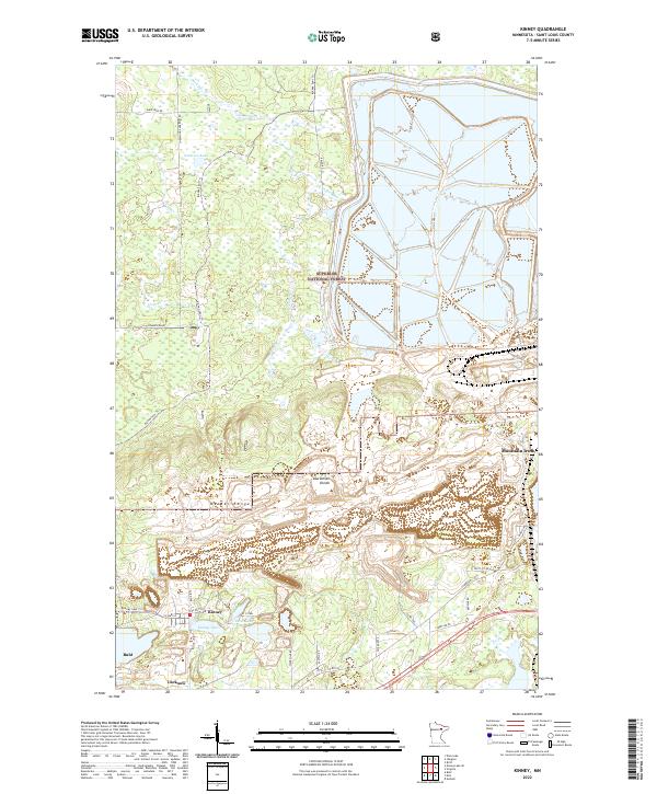
The Mesabi Range and the Laurentian Divide define the industrial and topographic character of this section of St. Louis County. This landscape is a complex network of active and legacy mining infrastructure, punctuated by the settlements of Kinney and Buhl. Large-scale earthen impoundments and pits associated with U S Steel dominate the eastern half of the map, illustrating the immense scale of iron ore extraction in this region.
Find a feature on this map
37 named features on this map. Tap any name to fly to it.
Don’t see what you’re looking for? This feature index may not catch every label — zoom into the map to look around manually.
Map Details
Date Portrayed2022
Date Published2022
PublisherU.S. Geological Survey
Map TypeTopographic
Scale1:24000
Physical Dimensions24 x 29 inches
Editions of this 2022 Kinney Map
This is the sole edition of this map. No revisions or reprints were ever made.
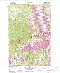
Historical Maps of Kinney Through Time
Featured Locations
Source Details
SourceU.S. Geological Survey
CopyrightPublic Domain