2022 Map of Knightdale
USGS Topo · Published 2022About this map
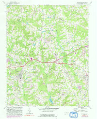
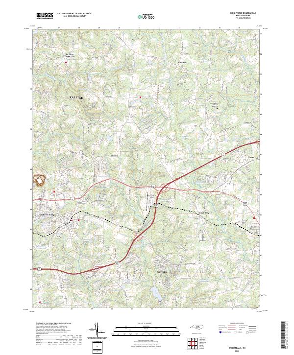
The town of Knightdale serves as a major hub on this 2022 survey, surrounded by a transition from suburban development to the wetlands of the Buffalo Creek Cypress Swamp. To the east, the curiously named Lizard Lick and the community of Eagle Rock represent the area's rural character, while Wendell anchors the southeast corner. The landscape is defined by its water management, including the Crabtree Cr Water Shed and numerous small reservoirs like Beaman Lake and Lake Lynn. Transportation and local infrastructure are highlighted by the Raleigh East Airport and a dense network of roads linking established crossroads like Six Forks Crossroads and Riley Hill. This map provides a clear picture of the modern residential growth encroaching on traditional Wake County wetlands and agricultural corridors.
Find a feature on this map
214 named features on this map. Tap any name to fly to it.
Don’t see what you’re looking for? This feature index may not catch every label — zoom into the map to look around manually.
Map Details
Editions of this 2022 Knightdale Map
This is the sole edition of this map. No revisions or reprints were ever made.
Historical Maps of Lewis Landing Through Time
3 maps found