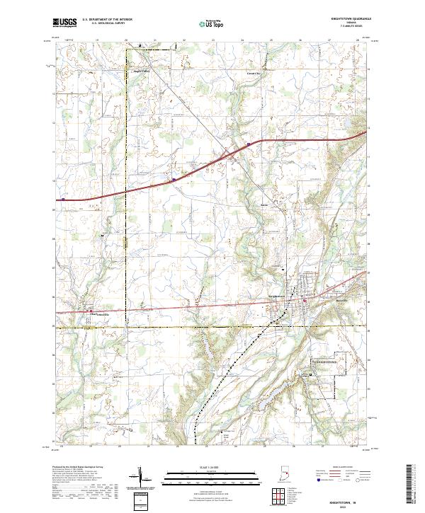
2022 Map of Knightstown
USGS Topo · Published 2022About this map
The Big Blue River and its numerous tributaries, including Buck Cr and Montgomery Cr, carve through this section of the Indiana landscape where Henry, Hancock, and Rush counties meet. Knightstown serves as a central hub, positioned along the National Rd, which parallels Old US Hwy 40 and Old National Rd through the historic settlements of Charlottesville and Raysville. The transportation grid reflects a transition from nineteenth-century thoroughfares to modern infrastructure, seen in the broad sweep of Interstate 70 crossing the northern half of the region near Maple Valley and Grant City. Local history is preserved in several burial grounds like Glencove Cem and Bell Cem, while the rural character is defined by a dense network of county roads and named waterways such as Wink Ditch and Threemile Creek.
Find a feature on this map
118 named features on this map. Tap any name to fly to it.
Don’t see what you’re looking for? This feature index may not catch every label — zoom into the map to look around manually.
Map Details
Editions of this 2022 Knightstown Map
This is the sole edition of this map. No revisions or reprints were ever made.