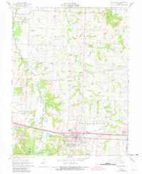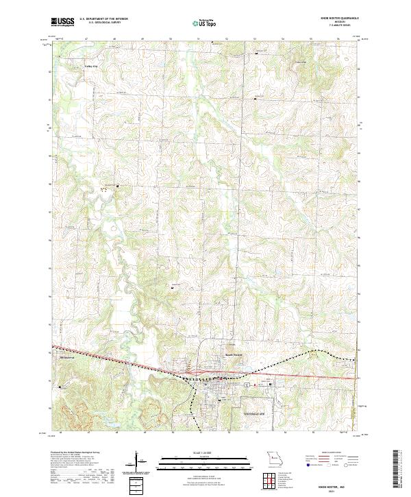
2021 Map of Knob Noster
USGS Topo · Published 2021About this map
The Knob Noster area of Johnson County is defined by its transition from the rolling prairie into the wooded drainage basins of the Blackwater River. This modern survey illustrates a landscape deeply etched by the Clear Fork Blackwater River and several tributaries including Walnut Cr and Little Walnut Cr. Genealogists and local historians will find a high density of rural burial sites preserved across these sections, including the Wampler Cem, Knaus Cem, and Hocker Cem. The town of Knob Noster serves as the central hub, with its established street grid featuring W McPherson St and Smith Pkwy. To the west, the settlement of Montserrat sits near the winding Opossum Hollow Trl, while the small community of Valley City remains established in the northern reaches of the quadrangle, maintaining the region's agricultural and rural residential character.
Find a feature on this map
60 named features on this map. Tap any name to fly to it.
Don’t see what you’re looking for? This feature index may not catch every label — zoom into the map to look around manually.
Map Details
Editions of this 2021 Knob Noster Map
This is the sole edition of this map. No revisions or reprints were ever made.