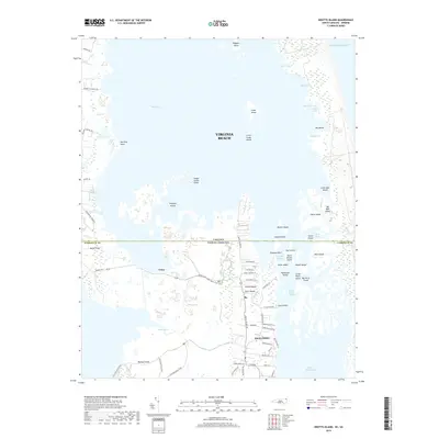
2019 Map of Knotts Island
USGS Topo · Published 2019About this map
Knotts Island anchors this coastal environment straddling the line between Virginia Beach and Currituck County. The landscape is dominated by the complex interface of the Atlantic Ocean and the sheltered waters of Back Bay, where numerous landforms such as Sedge Island Point and Pellitory Point reach into the wetlands. This region is characterized by its intricate system of marshes and small islands, including Ragged Island, Cedar Island, and Deal Island, which reflect a centuries-old pattern of water-dependent life.
Find a feature on this map
74 named features on this map. Tap any name to fly to it.
Don’t see what you’re looking for? This feature index may not catch every label — zoom into the map to look around manually.
Map Details
Editions of this 2019 Knotts Island Map
This is the sole edition of this map. No revisions or reprints were ever made.
Other maps of this area

1893 · Virginia Beach
USGS Topo · 1:125,000

1916 · Back Bay
USGS Topo · 1:62,500

1939 · Moyock
USGS Topo · 1:62,500

1940 · Barco
USGS Topo · 1:62,500

1943 · Back Bay
USGS Topo · 1:62,500

1946 · Moyock
USGS Topo · 1:62,500

1946 · Eastville
USGS Topo · 1:250,000

1946 · Currituck Sound
USGS Topo · 1:250,000

1948 · Elizabeth City
USGS Topo · 1:62,500

1953 · Norfolk
USGS Topo · 1:250,000