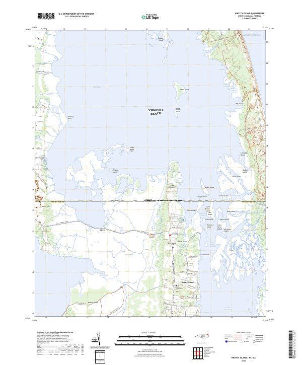
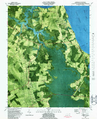
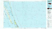
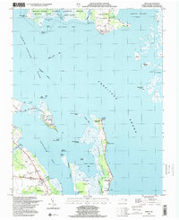
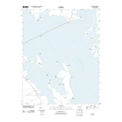
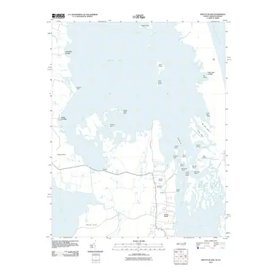
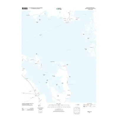
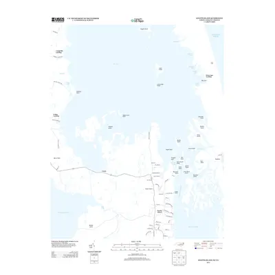
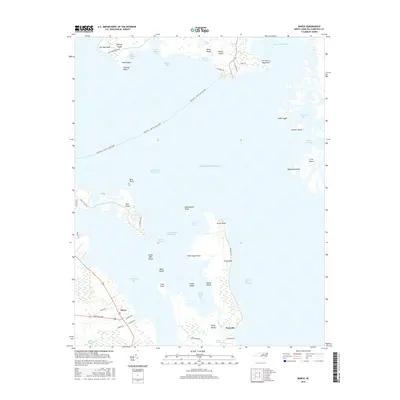
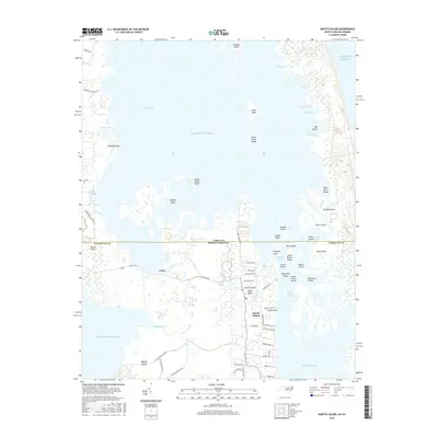
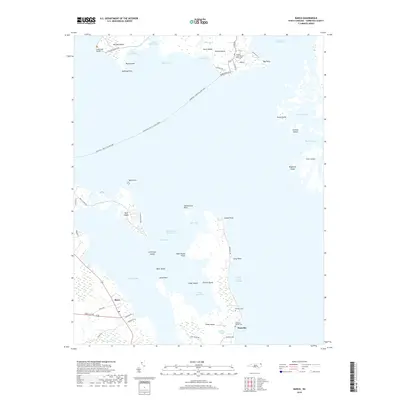
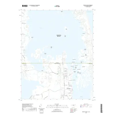
2022 Map of Knotts Island
USGS Topo · Published 2022About this map
Knotts Island anchors this coastal environment, straddling the state line between North Carolina and Virginia. The landscape is a complex network of waterways and marshlands, including the Great Marsh and Back Bay, where terrestrial life meets the Atlantic Ocean. Local infrastructure is concentrated along the Marsh Cswy and Knotts Island Rd, providing access to small settlements like Corys and the residential fringes of the Outer Banks.
Find a feature on this map
76 named features on this map. Tap any name to fly to it.
Don’t see what you’re looking for? This feature index may not catch every label — zoom into the map to look around manually.
Map Details
Editions of this 2022 Knotts Island Map
This is the sole edition of this map. No revisions or reprints were ever made.
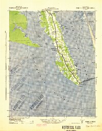
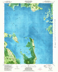
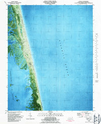
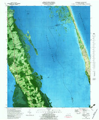
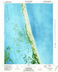
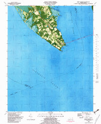
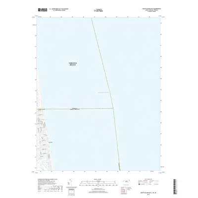
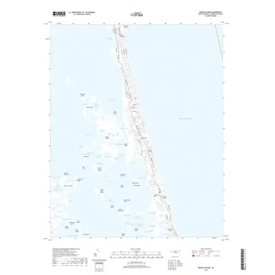
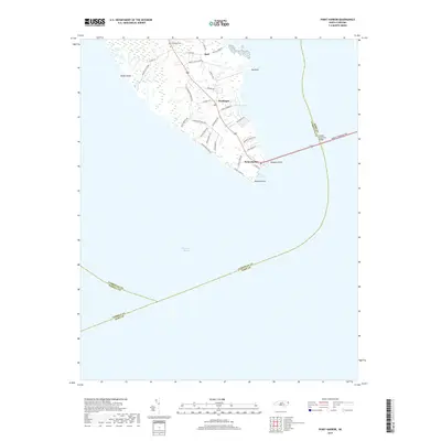
Historical Maps of Corys Through Time
53 maps found

1940 Barco
Currituck County, NC
1940 Powells Point
Currituck County, NC

1946 Currituck Sound
Currituck County, NC
1982 Barco
Currituck County, NC
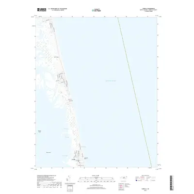
1982 Corolla
Currituck County, NC
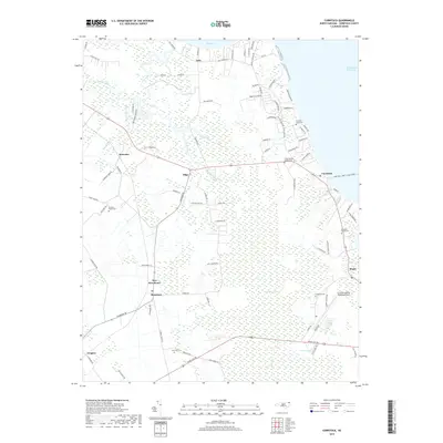
1982 Currituck
Currituck County, NC
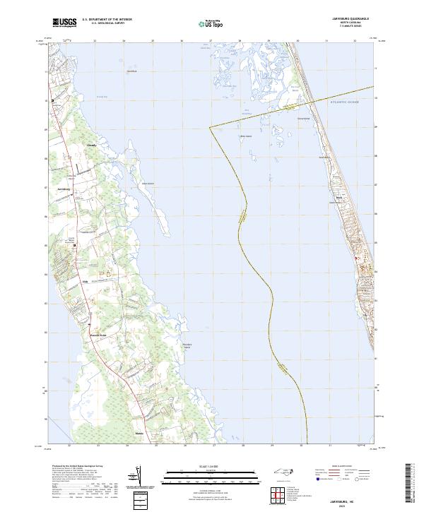
1982 Jarvisburg
Currituck County, NC
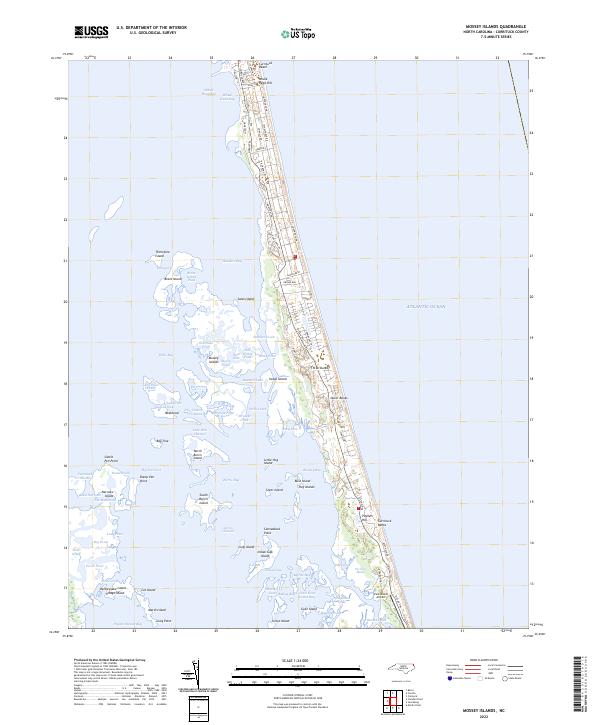
1982 Mossey Islands
Currituck County, NC
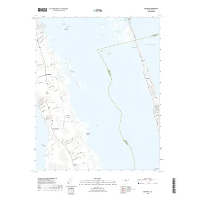
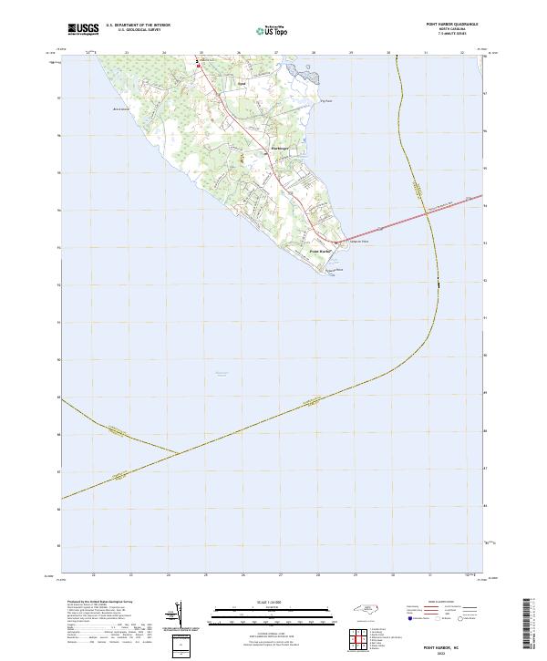
1982 Point Harbor
Currituck County, NC
1985 Currituck Sound
Currituck County, NC
1999 Barco
Currituck County, NC
1999 Currituck
Currituck County, NC
1999 Point Harbor
Currituck County, NC
2010 Barco
Currituck County, NC
2010 Corolla
Currituck County, NC
2010 Currituck
Currituck County, NC
2010 Jarvisburg
Currituck County, NC
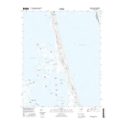
2010 Knotts Island
Currituck County, NC
2010 Knotts Island OE E
Currituck County, NC
2010 Mossey Islands
Currituck County, NC
2010 Point Harbor
Currituck County, NC
2013 Barco
Currituck County, NC
2013 Corolla
Currituck County, NC
2013 Currituck
Currituck County, NC
2013 Jarvisburg
Currituck County, NC
2013 Knotts Island
Currituck County, NC
2013 Knotts Island OE E
Currituck County, NC
2013 Mossey Islands
Currituck County, NC
2013 Point Harbor
Currituck County, NC
2016 Barco
Currituck County, NC
2016 Corolla
Currituck County, NC
2016 Currituck
Currituck County, NC
2016 Jarvisburg
Currituck County, NC
2016 Knotts Island
Currituck County, NC
2016 Knotts Island OE E
Currituck County, NC
2016 Mossey Islands
Currituck County, NC
2016 Point Harbor
Currituck County, NC
2019 Barco
Currituck County, NC
2019 Corolla
Currituck County, NC
2019 Currituck
Currituck County, NC
2019 Jarvisburg
Currituck County, NC
2019 Knotts Island
Currituck County, NC
2019 Knotts Island OE E
Currituck County, NC
2019 Mossey Islands
Currituck County, NC
2019 Point Harbor
Currituck County, NC
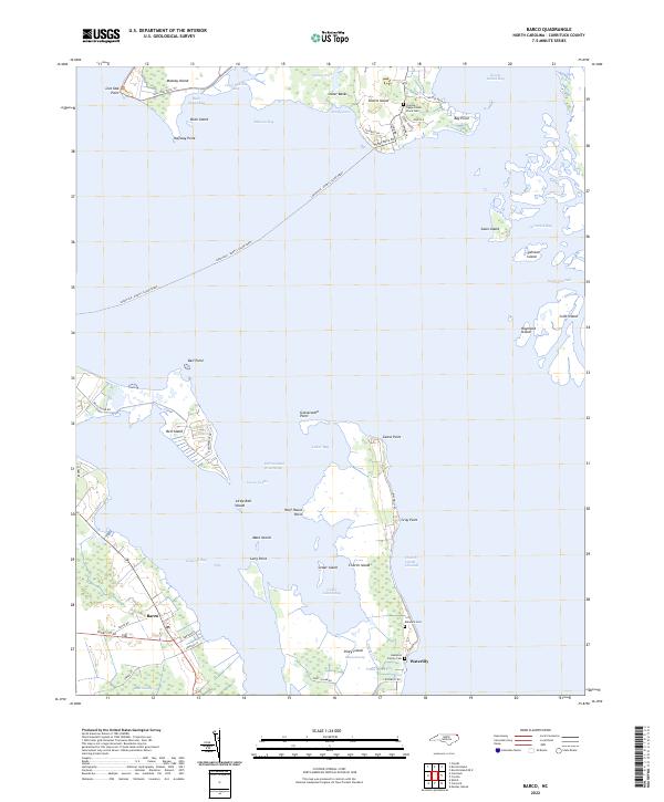
2022 Barco
Currituck County, NC
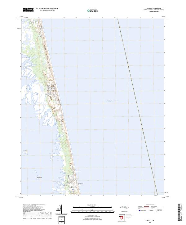
2022 Corolla
Currituck County, NC
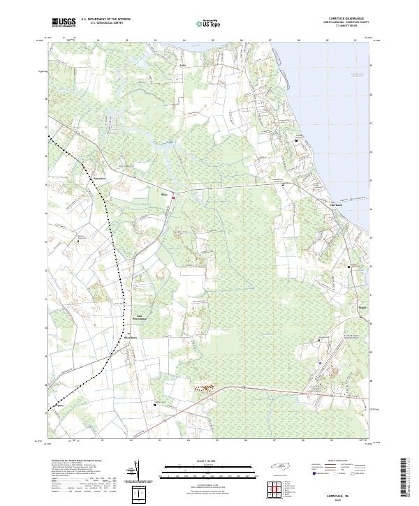
2022 Currituck
Currituck County, NC
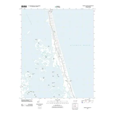
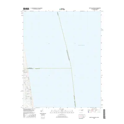
2022 Knotts Island
Currituck County, NC
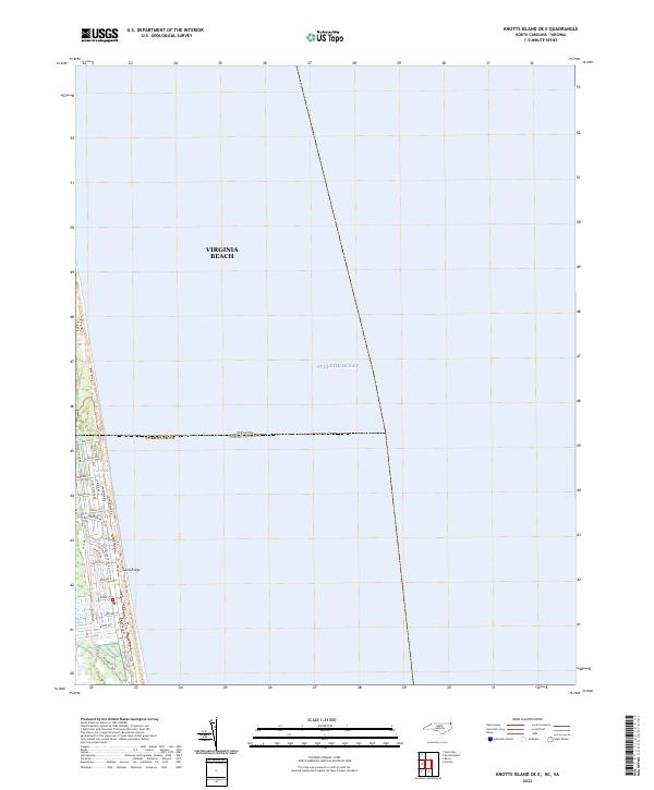
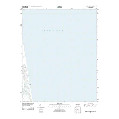
2022 Knotts Island OE E
Currituck County, NC
2022 Mossey Islands
Currituck County, NC
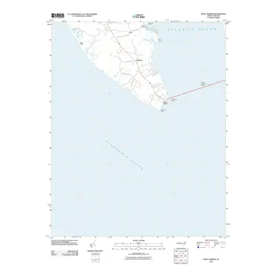
2022 Point Harbor
Currituck County, NC
2023 Jarvisburg
Currituck County, NC