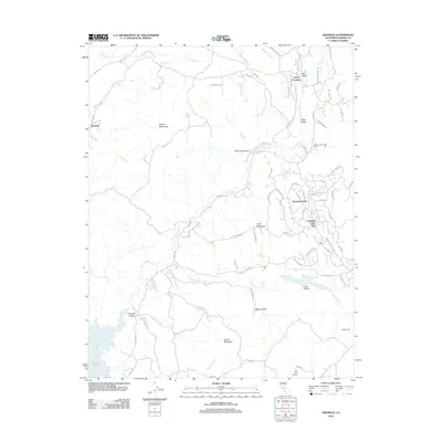
2012 Map of Knowles
USGS Topo · Published 2012About this map
The Fresno River winds through this central California landscape, defining a terrain of canyons and peaks before reaching Hensley Lake in the southwest corner. The settlement of Knowles sits nestled among the Western Sierra foothills, characterized by prominent landmarks like Buford Mountain and Blueberry Hill. To the east, the residential development of Yosemite Lakes Park and Yosemite Lakes showcases a modern transition in land use, featuring the Yosemite Lakes Golf Course and numerous winding roads like John Muir Dr and Yosemite Springs Pkwy.
Find a feature on this map
75 named features on this map. Tap any name to fly to it.
Don’t see what you’re looking for? This feature index may not catch every label — zoom into the map to look around manually.
Map Details
Editions of this 2012 Knowles Map
This is the sole edition of this map. No revisions or reprints were ever made.
Other maps of this area

1912 · Mariposa
USGS Topo · 1:125,000

1916 · Sulphur Springs
USGS Topo · 1:24,000

1919 · Sulphur Springs
USGS Topo · 1:31,680

1919 · Little Table Mountain
USGS Topo · 1:31,680

1921 · Daulton
USGS Topo · 1:31,680

1942 · Raymond
USGS Topo · 1:62,500

1942 · Daulton
USGS Topo · 1:24,000

1942 · Little Table Mountain
USGS Topo · 1:24,000

1942 · Millerton Lake
USGS Topo · 1:62,500

1944 · Raymond
USGS Topo · 1:62,500