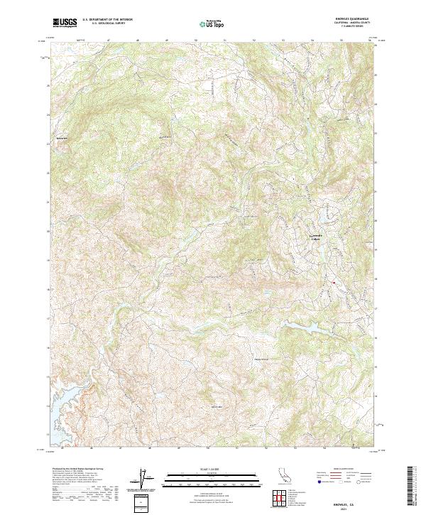
2021 Map of Knowles
USGS Topo · Published 2021About this map
The Fresno River winds through this central California landscape, defining a terrain of deep canyons and prominent peaks like Buford Mtn and Adkins Mtn. This region is characterized by its numerous natural water sources, including Pecan Spring, Vichy Spring, and Daulton Spring, which likely supported early ranching and transit. The settlement of Knowles sits near the western edge, while the residential development of Yosemite Lakes occupies the eastern portion, connected by a network of winding roads such as RD 400. Deep drainages like Buzzard Canyon and Wild Hog Canyon cut through the hills, illustrating the drainage patterns of the Sierra foothills. Local history is further grounded in named landmarks such as Happy Hollow and legacy routes like Polk Ranch Rd, which hint at the area's pastoral and ranching heritage.
Find a feature on this map
88 named features on this map. Tap any name to fly to it.
Don’t see what you’re looking for? This feature index may not catch every label — zoom into the map to look around manually.
Map Details
Editions of this 2021 Knowles Map
This is the sole edition of this map. No revisions or reprints were ever made.
Other maps of this area

1912 · Mariposa
USGS Topo · 1:125,000

1916 · Sulphur Springs
USGS Topo · 1:24,000

1919 · Sulphur Springs
USGS Topo · 1:31,680

1919 · Little Table Mountain
USGS Topo · 1:31,680

1921 · Daulton
USGS Topo · 1:31,680

1942 · Raymond
USGS Topo · 1:62,500

1942 · Daulton
USGS Topo · 1:24,000

1942 · Little Table Mountain
USGS Topo · 1:24,000

1942 · Millerton Lake
USGS Topo · 1:62,500

1944 · Raymond
USGS Topo · 1:62,500