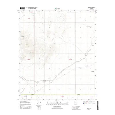
2014 Map of Kohatk
USGS Topo · Published 2014About this map
Kohatk sits on the desert plains of south-central Arizona, where the arid landscape is defined by the drainage patterns of ephemeral watercourses. This area, within the Tohono O'odham Nation, features the remote settlement of Sif Vaya near the northern edge of the Vekol Mountains. The map illustrates the transition from the mountainous terrain of the west to the broad reaches of the Santa Rosa Valley and the Kohatk Valley, providing a detailed look at the local road network including Az-142 and Bia-242.
Find a feature on this map
11 named features on this map. Tap any name to fly to it.
Don’t see what you’re looking for? This feature index may not catch every label — zoom into the map to look around manually.
Map Details
Editions of this 2014 Kohatk Map
This is the sole edition of this map. No revisions or reprints were ever made.
Other maps of this area

1934 · Silver Bell
USGS Topo · 1:125,000

1941 · Vekol Mountains
USGS Topo · 1:62,500

1942 · Silver Reef Mountains
USGS Topo · 1:62,500

1942 · Vekol Mountains
USGS Topo · 1:62,500

1953 · Ajo
USGS Topo · 1:250,000

1956 · Tucson
USGS Topo · 1:250,000

1957 · Ajo
USGS Topo · 1:250,000

1958 · Ajo
USGS Topo · 1:250,000

1958 · Tucson
USGS Topo · 1:250,000

1959 · Tucson
USGS Topo · 1:250,000