Loading...
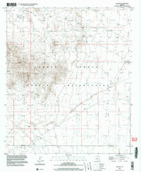
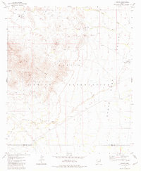
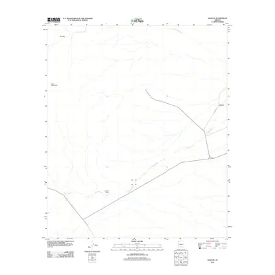
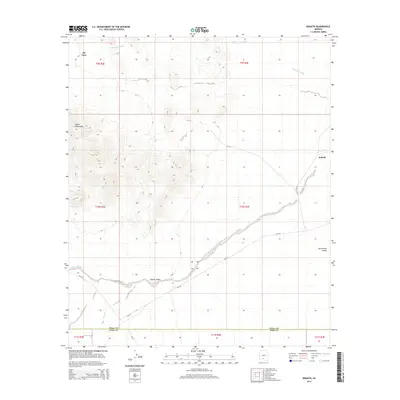
Loading map...1996 Map of Kohatk
USGS Topo · Published 2003About this map
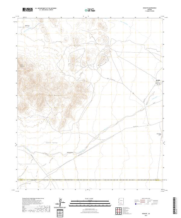
The Tohono O'odham Indian Reservation landscape is defined by the convergence of the Santa Rosa Valley and Kohatk Valley, where ephemeral watercourses like Santa Rosa Wash and Bitter Well Wash carve through the arid terrain. The settlement of Kohatk sits in the eastern portion of the quadrangle, evidenced by a corral and ruins, while the historic Sif Vaya (Site) is located near Bitter Well in the northwest.
Find a feature on this map
23 named features on this map. Tap any name to fly to it.
Don’t see what you’re looking for? This feature index may not catch every label — zoom into the map to look around manually.
Map Details
Date Portrayed1996
Date Published2003
PublisherU.S. Geological Survey
Map TypeTopographic
Scale1:24,000
Physical Dimensions22 x 26.9 inches
Editions of this 1996 Kohatk Map
This is the sole edition of this map. No revisions or reprints were ever made.
Historical Maps of Sif Oidak District Through Time
6 maps found
Featured Locations
Source Details
SourceU.S. Geological Survey
CopyrightPublic Domain