2021 Map of Kranzburg
USGS Topo · Published 2021About this map
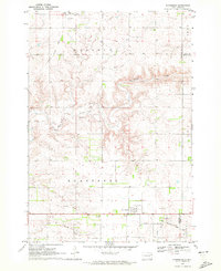
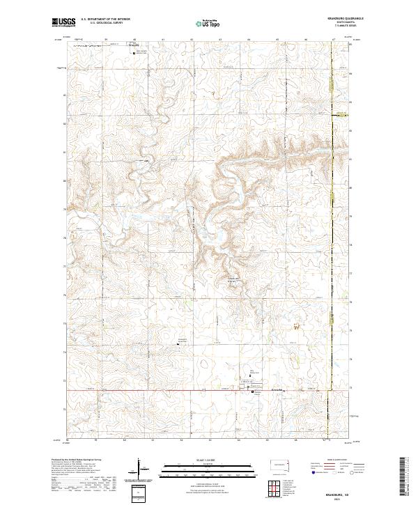
Kranzburg and Waverly anchor this eastern South Dakota landscape, characterized by the distinct glacial upland of the Coteau des Prairies. The map reveals a deeply rooted rural community where family and faith are central to the landscape's geography. Multiple burial sites, including the Saint Joseph's Catholic Cem near Waverly and the Holy Rosary Cem in Kranzburg, provide significant touchpoints for genealogical research. A poignant local landmark, the Spooner Children Graves, sits just south of Kranzburg, while Schneider's Grove Cem remains a quiet fixture in the central township. The drainage of Willow Cr and Stray Horse Cr carves through the section lines, defining the agricultural layout that has persisted through generations in Codington Co and the neighboring counties of Grant and Deuel.
Find a feature on this map
47 named features on this map. Tap any name to fly to it.
Don’t see what you’re looking for? This feature index may not catch every label — zoom into the map to look around manually.
Map Details
Editions of this 2021 Kranzburg Map
This is the sole edition of this map. No revisions or reprints were ever made.