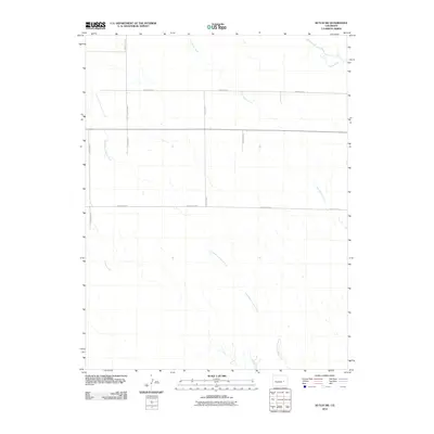
2010 Map of Kutch SW
USGS Topo · Published 2010About this map
Little Horse Creek and Horse Creek carve a distinct drainage pattern across this high plains landscape in Elbert County. The 2010 survey highlights a geometric grid of rural transit, where routes like County Rd-2A and County Road X bisect the terrain with precision. This intersection of natural hydrology and man-made infrastructure is most apparent near East Branch Steels Fork, where the seasonal waterways of the Steels Fork system encounter the established lines of County Hwy-5. The map provides a detailed look at the rural property boundaries and water rights of the modern era, reflecting a legacy of ranching and dry-land navigation where water remains the primary driver of the landscape's character.
Find a feature on this map
12 named features on this map. Tap any name to fly to it.
Don’t see what you’re looking for? This feature index may not catch every label — zoom into the map to look around manually.
Map Details
Editions of this 2010 Kutch SW Map
This is the sole edition of this map. No revisions or reprints were ever made.
Other maps of this area

1889 · Sanborn
USGS Topo · 1:125,000

1891 · Sanborn
USGS Topo · 1:125,000

1893 · Sanborn
USGS Topo · 1:125,000

1893 · Big Springs
USGS Topo · 1:125,000

1954 · Lamar
USGS Topo · 1:250,000

1954 · Pueblo
USGS Topo · 1:250,000

1957 · Pueblo
USGS Topo · 1:250,000

1958 · Pueblo
USGS Topo · 1:250,000

1958 · Lamar
USGS Topo · 1:250,000

1962 · Pueblo
USGS Topo · 1:250,000