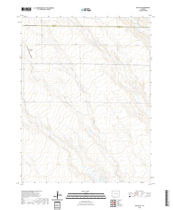
2022 Map of Kutch SW
USGS Topo · Published 2022About this map
The boundary between Elbert Co and Lincoln Co bisects the northern reaches of this high plains landscape, where the drainage systems of the Arkansas River basin begin to take shape. Steels Fork and its tributary, E Br Steels Fork, carve subtle paths across the southern half of the quadrangle, while Little Horse Cr and Horse Cr flow through the northeast. This area is defined by its rural transit network, including Co Rd 2 and Co Rd X, which follow the section lines of the Public Land Survey System. A notable modern landmark is the High Mesa Airport, situated on the western edge of the map, serving as a rare point of aviation infrastructure in this largely agricultural and open terrain.
Find a feature on this map
20 named features on this map. Tap any name to fly to it.
Don’t see what you’re looking for? This feature index may not catch every label — zoom into the map to look around manually.
Map Details
Editions of this 2022 Kutch SW Map
This is the sole edition of this map. No revisions or reprints were ever made.
Other maps of this area

1889 · Sanborn
USGS Topo · 1:125,000

1891 · Sanborn
USGS Topo · 1:125,000

1893 · Sanborn
USGS Topo · 1:125,000

1893 · Big Springs
USGS Topo · 1:125,000

1954 · Lamar
USGS Topo · 1:250,000

1954 · Pueblo
USGS Topo · 1:250,000

1957 · Pueblo
USGS Topo · 1:250,000

1958 · Pueblo
USGS Topo · 1:250,000

1958 · Lamar
USGS Topo · 1:250,000

1962 · Pueblo
USGS Topo · 1:250,000