Loading...
Loading map...2023 Map of La Conner
USGS Topo · Published 2023About this map
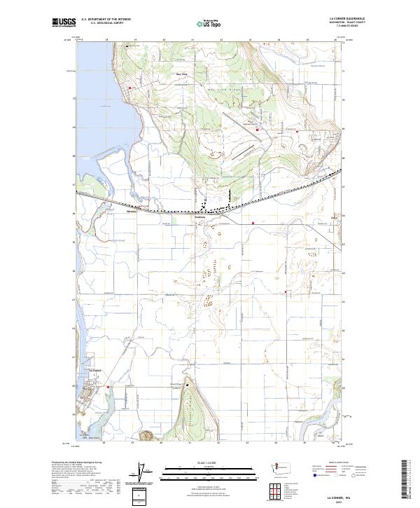
La Conner sits at the heart of this low-lying coastal landscape, where the Swinomish Channel cuts between the mainland and La Conner Flats. The map reveals an intricate drainage system necessary for the agricultural use of these Skagit County lands, featuring Joe Leary Slough, Sullivan Slough, and Higgins Slough. To the east, the North Fork Skagit River creates the northern boundary of Fir Island, a major delta feature.
Find a feature on this map
105 named features on this map. Tap any name to fly to it.
Don’t see what you’re looking for? This feature index may not catch every label — zoom into the map to look around manually.
Map Details
Date Portrayed2023
Date Published2023
PublisherU.S. Geological Survey
Map TypeTopographic
Scale1:24000
Physical Dimensions24 x 29 inches
Editions of this 2023 La Conner Map
This is the sole edition of this map. No revisions or reprints were ever made.
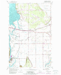
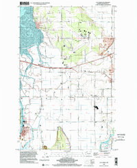
Historical Maps of Fredonia Through Time
3 maps found
Featured Locations
Source Details
SourceU.S. Geological Survey
CopyrightPublic Domain