Loading...
Loading map...2022 Map of La Follette
USGS Topo · Published 2022About this map
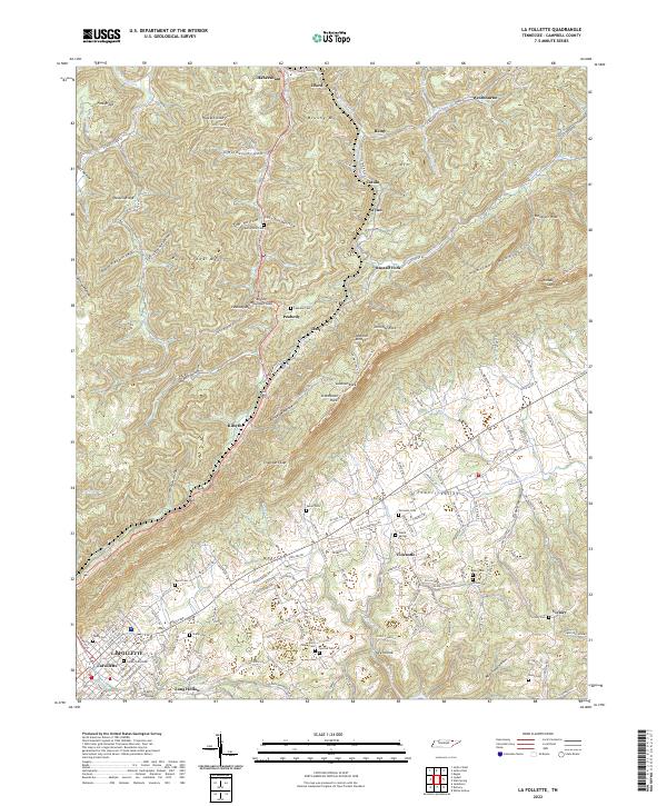
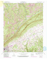
Powell Valley serves as the focal point of this topographic study, where the fertile lowlands meet the dramatic rise of Cumberland Mountain. The settlement of La Follette occupies the southwestern corner, showing a detailed street grid including E Central Ave and S Tennessee Ave. Beyond the town, the landscape transitions into a series of ridges and hollows, such as Sawmill Hollow and Wolfpen Hollow, which characterize the upland terrain.
Find a feature on this map
89 named features on this map. Tap any name to fly to it.
Don’t see what you’re looking for? This feature index may not catch every label — zoom into the map to look around manually.
Map Details
Date Portrayed2022
Date Published2022
PublisherU.S. Geological Survey
Map TypeTopographic
Scale1:24000
Physical Dimensions24 x 29 inches
Editions of this 2022 La Follette Map
This is the sole edition of this map. No revisions or reprints were ever made.
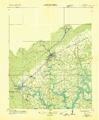
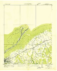
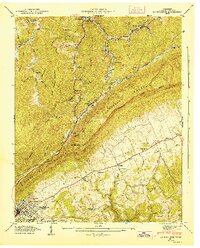
Historical Maps of Remy Through Time
5 maps found
Featured Locations
Source Details
SourceU.S. Geological Survey
CopyrightPublic Domain