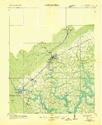
1952 Map of La Follette
USGS Topo · Published 1990About this map
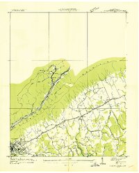
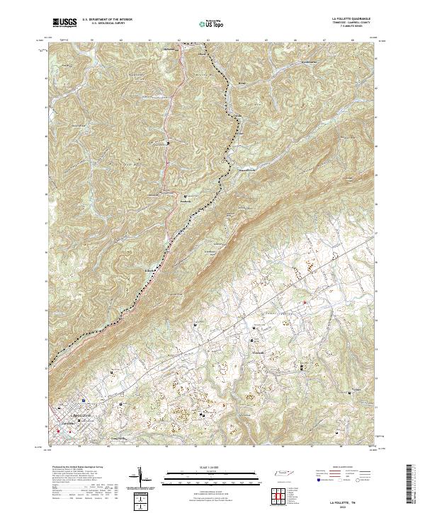
Cumberland Mountain dominates this mid-century landscape, acting as a physical divide between the coal-heavy highlands and the agricultural expanse of Powell Valley. The northern half of the sheet is marked by intensive industrial activity, with numerous Strip Mine and Strip Mines operations following the contours of Walden Ridge and Brushy Mountain. These operations are supported by the Louisville and Nashville and Southern railroads, which thread through narrow gaps to serve settlements like Habersham, Westbourne, and Peabody.
Find a feature on this map
67 named features on this map. Tap any name to fly to it.
Don’t see what you’re looking for? This feature index may not catch every label — zoom into the map to look around manually.
Map Details
Editions of this 1952 La Follette Map
3 editions found
Historical Maps of La Follette Through Time
9 maps found
1936 La Follette
Campbell County, TN
1936 La Follette
Campbell County, TN
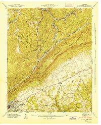
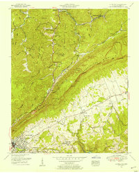
1946 La Follette
Campbell County, TN
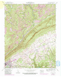
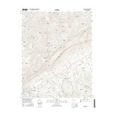
1952 La Follette
Campbell County, TN
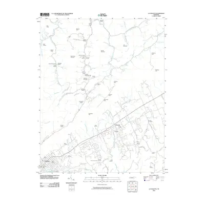
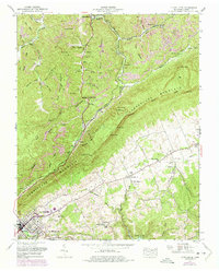
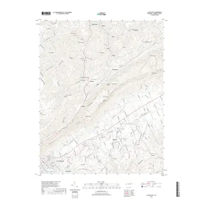
2010 La Follette
Campbell County, TN
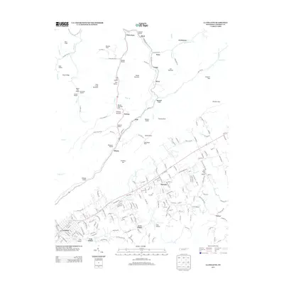
2013 La Follette
Campbell County, TN
2016 La Follette
Campbell County, TN
2019 La Follette
Campbell County, TN
2022 La Follette
Campbell County, TN