
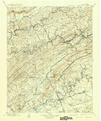
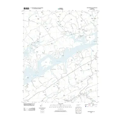
1897 Map of Maynardville
USGS Topo · Published 1897About this map
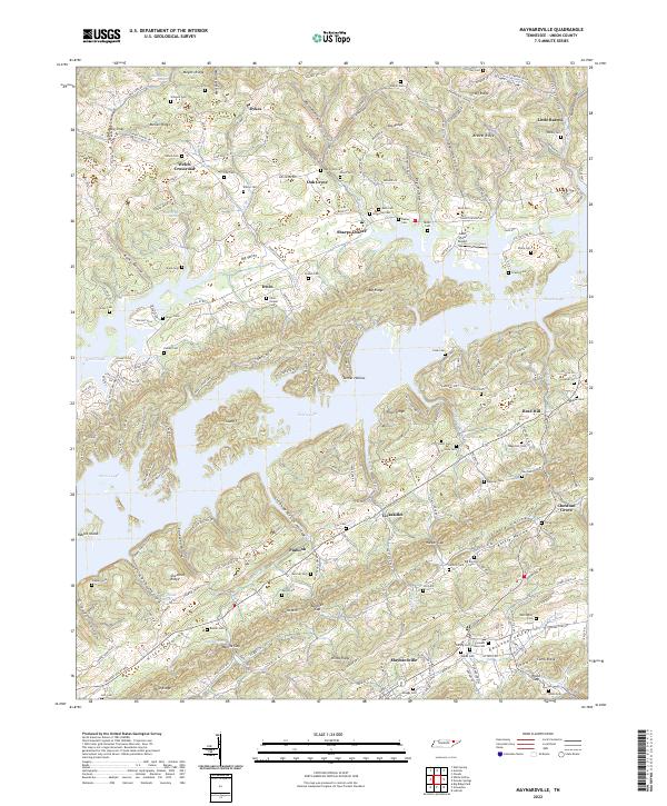
Cumberland Mountain and the parallel ridges of East Tennessee define the landscape in this late nineteenth-century study. The area is characterized by a dense network of river crossings and small valley settlements connected by early rail lines like the Knoxville and Cumberland Gap RR and the Southern Ry. Along the Powell River, numerous family and local crossings such as Walkers Ford and Needham Ford provided essential transit before modern bridging.
Find a feature on this map
177 named features on this map. Tap any name to fly to it.
Don’t see what you’re looking for? This feature index may not catch every label — zoom into the map to look around manually.
Map Details
Editions of this 1897 Maynardville Map
This is the sole edition of this map. No revisions or reprints were ever made.
Historical Maps of Knoxville Through Time
10 maps found
1897 Maynardville
Union County, TN
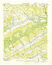
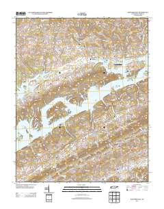
1900 Maynardville
Union County, TN
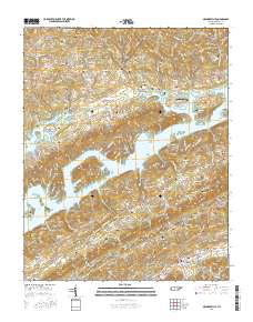
1936 Maynardville
Union County, TN
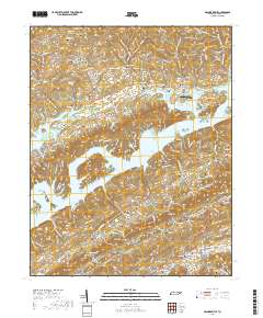
1941 Maynardville
Union County, TN
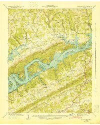
1952 Maynardville
Union County, TN
2010 Maynardville
Union County, TN
2013 Maynardville
Union County, TN
2016 Maynardville
Union County, TN
2019 Maynardville
Union County, TN
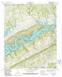
2022 Maynardville
Union County, TN