2022 Map of La Grange
USGS Topo · Published 2022About this map
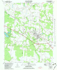
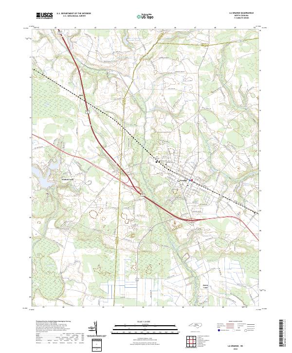
La Grange serves as the central hub for this corner of the Coastal Plain, situated where the borders of Wayne, Greene, and Lenoir Counties meet. The town's grid is anchored by E Railroad St and W Railroad St, reflecting the transportation corridors that historically fueled its growth. Beyond the municipal limits, the landscape transitions into a complex network of wetlands and agricultural tracts, defined by unique geographic features like Jones Pocosin and the expansive Bogue Marsh to the south. Small outlying communities like Best and Jenny Lind sit among the headwaters of numerous creeks, including Moseley Cr and Bear Cr. Genealogists will find particular value in the documentation of several local burial sites, such as the Old Lagrange Cem, Fairview Cem, and Palmer Cem, which provide tangible links to the area's early families.
Find a feature on this map
126 named features on this map. Tap any name to fly to it.
Don’t see what you’re looking for? This feature index may not catch every label — zoom into the map to look around manually.
Map Details
Editions of this 2022 La Grange Map
This is the sole edition of this map. No revisions or reprints were ever made.