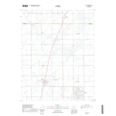
2019 Map of La Jara
USGS Topo · Published 2019About this map
Agricultural life in the San Luis Valley is defined by the intricate network of water management shown throughout this survey. The Alamosa River and La Jara Cr provide the natural foundations for a complex system of human-made waterways, including the Empire Canal, Sanford Ditch, and Richfield Canal. These channels support the small, gridded settlements of La Jara and Sanford, which serve as the primary hubs for the surrounding farming community.
Find a feature on this map
74 named features on this map. Tap any name to fly to it.
Don’t see what you’re looking for? This feature index may not catch every label — zoom into the map to look around manually.
Map Details
Editions of this 2019 La Jara Map
This is the sole edition of this map. No revisions or reprints were ever made.
Other maps of this area

1922 · Conejos
USGS Topo · 1:125,000

1945 · Durango
USGS Topo · 1:250,000

1953 · Durango
USGS Topo · 1:250,000

1954 · Durango
USGS Topo · 1:250,000

1954 · Trinidad
USGS Topo · 1:250,000

1955 · Trinidad
USGS Topo · 1:250,000

1958 · Trinidad
USGS Topo · 1:250,000

1959 · Trinidad
USGS Topo · 1:250,000

1961 · Durango
USGS Topo · 1:250,000

1963 · Durango
USGS Topo · 1:250,000