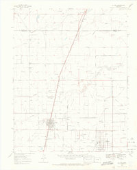
1968 Map of La Jara
USGS Topo · Published 1970About this map
The Denver and Rio Grande Western Railroad cuts a sharp line through the San Luis Valley, anchoring the grid of La Jara and the nearby agricultural settlements of Richfield and Sanford. This high-altitude landscape is defined by an intricate network of water management, where the Alamosa River and La Jara Creek are diverted into numerous channels like the Richfield Canal, San Luis Ditch, and Morgan Drain. These features reveal the engineered reliance of the local economy on valley irrigation.
Find a feature on this map
26 named features on this map. Tap any name to fly to it.
Don’t see what you’re looking for? This feature index may not catch every label — zoom into the map to look around manually.
Map Details
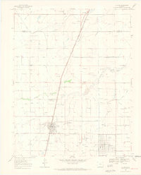
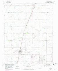
Editions of this 1968 La Jara Map
3 editions found
Other maps of this area

1922 · Conejos
USGS Topo · 1:125,000

1945 · Durango
USGS Topo · 1:250,000

1953 · Durango
USGS Topo · 1:250,000

1954 · Durango
USGS Topo · 1:250,000

1954 · Trinidad
USGS Topo · 1:250,000

1955 · Trinidad
USGS Topo · 1:250,000

1958 · Trinidad
USGS Topo · 1:250,000

1959 · Trinidad
USGS Topo · 1:250,000

1961 · Durango
USGS Topo · 1:250,000

1963 · Durango
USGS Topo · 1:250,000