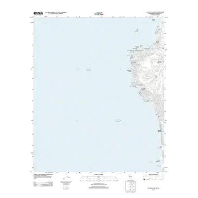
2012 Map of La Jolla OE W
USGS Topo · Published 2012About this map
Soledad Mountain dominates the coastal topography of this San Diego coastline, serving as a backdrop to the distinct residential enclaves of The Muirlands, La Jolla Hermosa, and La Jolla Mesa. The map illustrates a densely developed shoreline where urban life meets the Pacific Ocean, stretching from the research-focused Scripps Pier and Stephen Birch Aquarium in the north down to the leisure-oriented Mission Beach.
Find a feature on this map
82 named features on this map. Tap any name to fly to it.
Don’t see what you’re looking for? This feature index may not catch every label — zoom into the map to look around manually.
Map Details
Editions of this 2012 La Jolla OE W Map
This is the sole edition of this map. No revisions or reprints were ever made.
Other maps of this area

1903 · La Jolla
USGS Topo · 1:62,500

1904 · San Diego
USGS Topo · 1:62,500

1904 · Southern California Sheet No. 2
USGS Topo · 1:250,000

1930 · La Jolla
USGS Topo · 1:62,500

1930 · San Diego
USGS Topo · 1:62,500

1942 · Point Loma
USGS Topo · 1:31,680
1943 · Del Mar
USGS Topo · 1:31,680

1943 · La Jolla
USGS Topo · 1:31,680

1950 · San Diego
USGS Topo · 1:250,000
1953 · Del Mar
USGS Topo · 1:24,000