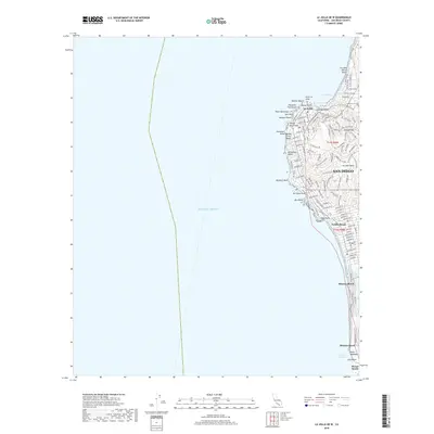
2018 Map of La Jolla OE W
USGS Topo · Published 2018About this map
The coastal neighborhoods of La Jolla and Pacific Beach define this 2018 survey of San Diego's western shoreline. The map documents a densely developed residential and commercial landscape rising from the Pacific Ocean to the heights of Soledad Mtn. Along the water, a succession of distinct geological and recreational features are charted, including the sheltered La Jolla Cove, the rocky outcrop of Bird Rock, and the narrow strand of Mission Beach separating the ocean from Sail Bay.
Find a feature on this map
124 named features on this map. Tap any name to fly to it.
Don’t see what you’re looking for? This feature index may not catch every label — zoom into the map to look around manually.
Map Details
Editions of this 2018 La Jolla OE W Map
This is the sole edition of this map. No revisions or reprints were ever made.
Other maps of this area

1903 · La Jolla
USGS Topo · 1:62,500

1904 · San Diego
USGS Topo · 1:62,500

1904 · Southern California Sheet No. 2
USGS Topo · 1:250,000

1930 · La Jolla
USGS Topo · 1:62,500

1930 · San Diego
USGS Topo · 1:62,500

1942 · Point Loma
USGS Topo · 1:31,680
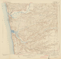
1943 · Del Mar
USGS Topo · 1:31,680

1943 · La Jolla
USGS Topo · 1:31,680

1950 · San Diego
USGS Topo · 1:250,000
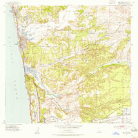
1953 · Del Mar
USGS Topo · 1:24,000