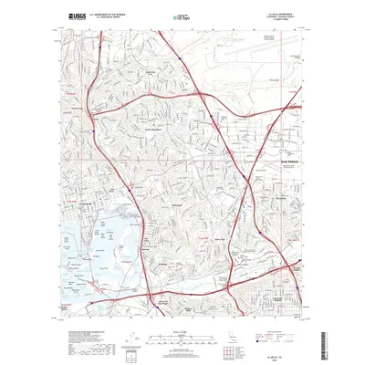
2018 Map of La Jolla
USGS Topo · Published 2018About this map
Old Town San Diego anchors the southern portion of this 2018 survey, marking the historic core of the city where the San Diego River meets the coastal plain. The landscape is a dense arrangement of established residential districts like Clairemont and North Clairemont alongside major academic and aviation hubs. The northern section is dominated by the Miramar Marine Corps Air Station (Joe Foss Field) and the high-tech corridors of University City, while the eastern side features the Montgomery-Gibbs Executive Airport and Serra Mesa.
Find a feature on this map
472 named features on this map. Tap any name to fly to it.
Don’t see what you’re looking for? This feature index may not catch every label — zoom into the map to look around manually.
Map Details
Editions of this 2018 La Jolla Map
This is the sole edition of this map. No revisions or reprints were ever made.
Other maps of this area

1903 · La Jolla
USGS Topo · 1:62,500

1904 · San Diego
USGS Topo · 1:62,500

1904 · Southern California Sheet No. 2
USGS Topo · 1:250,000

1930 · La Jolla
USGS Topo · 1:62,500

1930 · San Diego
USGS Topo · 1:62,500

1942 · Poway Valley
USGS Topo · 1:31,680
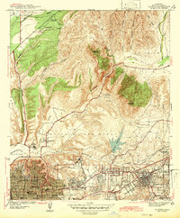
1942 · La Mesa
USGS Topo · 1:31,680

1942 · Point Loma
USGS Topo · 1:31,680
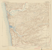
1943 · Del Mar
USGS Topo · 1:31,680

1943 · La Jolla
USGS Topo · 1:31,680